Horodnia
Городня | |
|---|---|
Village | |
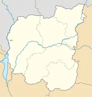
 Horodnia Location of Horodnia within Ukraine  Horodnia Horodnia (Ukraine) | |
| Coordinates: 50°45′29″N 32°31′37″E / 50.758°N 32.527°E | |
| Country | |
| Province | |
| District | Pryluky Raion |
| Founded | 1600 |
| Area | |
| • Total | 3,949 km2 (1,525 sq mi) |
| Elevation | 141 m (463 ft) |
| Population | |
| • Total | 511 |
| • Density | 0.13/km2 (0.34/sq mi) |
| Time zone | UTC+2 (EET) |
| • Summer (DST) | UTC+3 (EEST) |
| Postal code | 16752 |
| Area code | +380 4633 |
Horodnia is a village in Pryluky Raion, Chernihiv Oblast, Ukraine. It belongs to Ichnia urban hromada, one of the hromadas of Ukraine.[1] The population is about 448 people.
Until 18 July 2020, Horodnia belonged to Ichnia Raion. The raion was abolished in July 2020 as part of the administrative reform of Ukraine, which reduced the number of raions of Chernihiv Oblast to five. The area of Ichnia Raion was merged into Pryluky Raion.[2][3]
The remains of the settlement (Hillfort) site of the Kievan Rus' period (IX-XIII centuries) have been preserved on the territory of the village. The village was found in its mid-seventeenth century. In 1648 the Cossack Sotnia was established in the village, which was part of the Pryluks regiment.
References
- ↑ "Ичнянская громада" (in Russian). Портал об'єднаних громад України.
- ↑ "Про утворення та ліквідацію районів. Постанова Верховної Ради України № 807-ІХ". Голос України (in Ukrainian). 18 July 2020. Retrieved 3 October 2020.
- ↑ "Нові райони: карти + склад" (in Ukrainian). Міністерство розвитку громад та територій України.
This article is issued from Wikipedia. The text is licensed under Creative Commons - Attribution - Sharealike. Additional terms may apply for the media files.