Hrozyne
Грозине | |
|---|---|
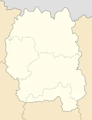
 Hrozyne Location of Hrozyne in Ukraine  Hrozyne Hrozyne (Ukraine) | |
| Coordinates: 50°57′32″N 28°43′50″E / 50.95889°N 28.73056°E | |
| Country | |
| Oblast | |
| Raion | Korosten |
| Area | 0.956 km2 (0.369 sq mi) |
| Elevation | 170 m (560 ft) |
| Population | 1,225 |
| • Density | 1,300/km2 (3,300/sq mi) |
| Time zone | UTC+2 (EET) |
| • Summer (DST) | UTC+3 (EEST) |
| Postal code | 11542 |
| Area code | +380 4142 |
Hrozyne (Ukrainian: Грозине) is a Ukrainian village in Korosten Raion (district) of Zhytomyr Oblast (province). Agricultural Institute of Polesia is located in the village.
Wikimedia Commons has media related to Hrozyne.
This article is issued from Wikipedia. The text is licensed under Creative Commons - Attribution - Sharealike. Additional terms may apply for the media files.