Utarom Airport Bandar Udara Utarom | |||||||||||
|---|---|---|---|---|---|---|---|---|---|---|---|
 | |||||||||||
| Summary | |||||||||||
| Airport type | Public | ||||||||||
| Owner | Government of Indonesia | ||||||||||
| Operator | Ministry of Transportation | ||||||||||
| Serves | Kaimana, West Papua, Indonesia | ||||||||||
| Time zone | WITA (UTC+09:00) | ||||||||||
| Elevation AMSL | 19 ft / 6 m | ||||||||||
| Coordinates | 03°38′40″S 133°41′43″E / 3.64444°S 133.69528°E | ||||||||||
| Map | |||||||||||
| Runways | |||||||||||
| |||||||||||

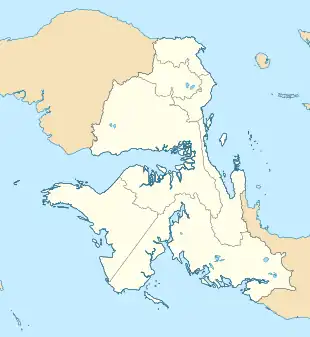
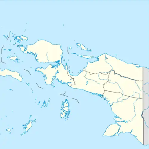
Utarom Airport or Kaimana Airport (Indonesian: Bandar Udara Utarom) (IATA: KNG, ICAO: WASK) is an airport serving Kaimana,[1] located in the province of West Papua in Indonesia. Due to increasing passengers, the airport was heavily modernized. The airport development is done in several stages, which begin in 2012, followed in 2014, and was completed at the end of 2015. Currently, Utarom Airport has a modern passenger terminal design like that of Wamena Airport. Airport capacity also increased to be able to accommodate 102 passengers during peak hours. The passenger terminal is made more comfortable in order to improve service to passengers[3] In total, the construction of a passenger terminal covering an area of 1,800 square meters costs around Rp 75.5 billion.[4] The development of the airport was completed at the end of 2015 and was inaugurated by President Joko Widodo on 30 December 2016.[5]
Kaimana Airport which is a third class airport now has a runway length of 2,000 m x 30 cm, two taxiways, an apron area of 170 m x 60 m, and is able to accommodate planes such as the ATR 72-500. For the improvement of aviation safety, the airport is also equipped with new navigation equipment such as non-directional beacon (NDB), Doppler VHF omnidirectional range (DVOR), precision approach path indicator (PAPI), and the airfield lighting system (AFL).[6]
Facilities
The airport resides at an elevation of 19 feet (6 m) above mean sea level. It has one runway designated 01/19 with an asphalt surface measuring 2,000 by 30 metres (6,562 ft × 98 ft).[1]
Airlines and destinations
| Airlines | Destinations |
|---|---|
| Wings Air | Sorong |
Accidents and incidents
On May 7, 2011, the Merpati Nusantara Airlines Flight 8968, an Xian MA60 aircraft operating the flight crashed off the coast of West Papua on approach to Kaimana Airport in heavy rain. There were 21 passengers and 4 crew on board the aircraft; all were killed.[7][8][9][10][11]
References
- 1 2 3 Airport information for WASK[usurped] from DAFIF (effective October 2006)
- ↑ Airport information for Kaimana, Indonesia (WASK / KNG) at Great Circle Mapper. Source: DAFIF (effective October 2006).
- ↑ "Hari Ini, Presiden Resmikan Terminal Bandara Kaimana". beritasatu.com.
- ↑ Aditiasari, Dana. "Kemenhub Bangun Bandara Kaimana di Papua Barat, Ini Penampakannya". detikfinance.
- ↑ "Presiden resmikan terminal Bandara Wamena dan Kaimana". Antara News. December 30, 2015.
- ↑ "Bandara Kaimana Papua Barat Siap Diresmikan Jokowi". liputan6.com. December 30, 2015.
- ↑ "Merpati Airlines passenger plane crashes in sea off Indonesia's West Papua province". BNO News. May 7, 2011. Archived from the original on May 10, 2011. Retrieved May 7, 2011.
- ↑ "Update: Indonesia Plane Crash". Jakarta Globe. May 7, 2011. Archived from the original on May 9, 2011. Retrieved May 7, 2011.
- ↑ "27 killed in plane crash in Indonesia". Xinhua. May 7, 2011. Archived from the original on May 10, 2011. Retrieved May 7, 2011.
- ↑ "Plane carrying 27 crashes in eastern Indonesia". MSNBC. May 7, 2011. Retrieved May 7, 2011.
- ↑ Hradecky, Simon (May 25, 2011). "Crash: Merpati MA60 at Kaimana on May 7th 2011, impacted waters before runway". Aviation Herald. Retrieved May 7, 2011.
External links
- Utarom Airport - Indonesia Airport Global Website
- WW2 hangars in Utarom Airport, Kaimana
- Accident history for KNG / WASK at Aviation Safety Network


