Karatia
করটিয়া | |
|---|---|
Town | |
 Karatia | |
| Coordinates: 24°13′27.0732″N 89°58′27.6456″E / 24.224187000°N 89.974346000°E | |
| Country | |
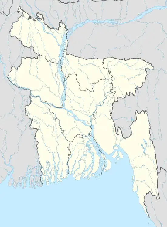
| Division | Dhaka Division |
| District | Tangail District |
| Upazila | Tangail Sadar Upazila |
| Incorporated | 1984 |
| Government | |
| • Type | Union Council |
| • Chairman | Morshed Ali Khan Panni |
| Area | |
| • Total | 19 km2 (7 sq mi) |
| Elevation | 14 m (46 ft) |
| Population (2017) | |
| • Total | 70,000 |
| • Density | 3,700/km2 (9,500/sq mi) |
| Time zone | UTC+6 (BST) |
| Postal code | 1903 |
| Area code | 0921 |
| Website | karotiaup |
Karatia Union (Bengali: করটিয়া ইউনিয়ন) is a union of Tangail Sadar Upazila, Bangladesh. It is a suburb of Tangail. The town is situated 6.5 kilometres (4.0 mi) away from Tangail city, 92 kilometres (57 mi) northwest of Dhaka city, the capital. It is the headquarters of the Karatia Zamindari family.
Demographics
According to the 2011 Bangladesh census, Karatia Union had 10,260 households and a population of 46,489. The literacy rate (age 7 and over) was 58.9% (male: 62.5%, female: 55.1%).[1]
Education
Government Saadat College is located in this town. Every day almost 10,000 students come in Karatia to take lessons from different parts of Tangail and other nearby villages.
See also
References
- ↑ "Community Report: Tangail" (PDF). Population & Housing Census 2011. Bangladesh Bureau of Statistics. Archived from the original (PDF) on 2016-12-02. Retrieved 2017-06-18.
Further reading
- "Demolition of illegal structures on Karatia canal begins". The Daily Star. 2015-12-08.
This article is issued from Wikipedia. The text is licensed under Creative Commons - Attribution - Sharealike. Additional terms may apply for the media files.