| Khantayka | |
|---|---|
 | |
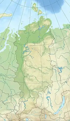 Mouth location in Krasnoyarsk Krai, Russia | |
| Physical characteristics | |
| Source | Lake Maloye Khantayskoye |
| • location | Putorana Massif |
| • coordinates | 68°20′45″N 89°22′41″E / 68.34583°N 89.37806°E |
| • elevation | 62 m (203 ft) |
| Mouth | Yenisey |
• coordinates | 68°06′50″N 86°33′00″E / 68.11389°N 86.55000°E |
• elevation | 61 m (200 ft) |
| Length | 174 km (108 mi) |
| Basin size | 30,700 km2 (11,900 sq mi) |
| Basin features | |
| Progression | Yenisey→ Kara Sea |
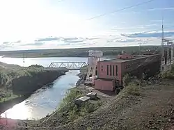
The Khantayka (Russian: Хантайка) is a river in Krasnoyarsk Krai, Russia. It is a right tributary of the Yenisey. It is 174 kilometres (108 mi) long, and has a drainage basin of 30,700 square kilometres (11,900 sq mi).[1] The source of the Khantayka is Lake Maloye Khantayskoye in the Putorana Massif. It flows through the Ust-Khantayka Reservoir.[2]
 Basin of the Yenisei |
See also
References
- ↑ "Река Хантайка in the State Water Register of Russia". textual.ru (in Russian).
- ↑ Хантайка, article in Great Soviet Encyclopedia
External links
 Media related to Khantaika River at Wikimedia Commons
- Fishing in Russia
This article is issued from Wikipedia. The text is licensed under Creative Commons - Attribution - Sharealike. Additional terms may apply for the media files.