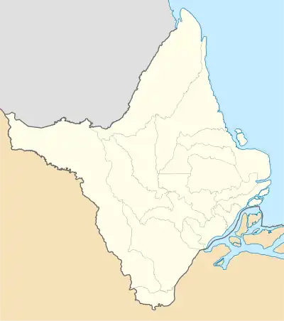
Kumarumã
Santa Maria dos Galibis | |
|---|---|
 Kumarumã Location in Brazil  Kumarumã Kumarumã (Brazil) | |
| Coordinates: 3°22′44″N 51°17′59″W / 3.3789°N 51.2998°W | |
| Country | |
| Region | North |
| State | Amapá |
| Municipality | Oiapoque |
| Government | |
| • Cacique | Paulo Roberto Silva[1] |
| Population (2016)[2] | |
| • Total | 2,240 |
| Time zone | UTC-3 |
Kumarumã is an Amerindian village of the Galibi Marwono people in the Brazilian municipality of Oiapoque, Amapá. It is the largest village of the tribe.[3][4] Kumarumã was founded in the 1930s[5] as Santa Maria dos Galibis.[3] Kumarumã is located on an island in the Uaçá River in the Uaçá Indigenous Territory.[6]
Overview
The Galibi Marworno were originally from French Guiana and lived in Jesuit missions. A Portuguese offensive in the late 18th century drove them to land inwards, where they mixed with the Arua and Marworno Amerindians.[4] They use the self identification Galibi Marworno to distinguish themselves from the Galibis on the Oiapoque River.[3]
In the 1930s, Santa Maria dos Galibis was established by the Indian Protection Service[5] as means to concentrate the population.[4] The main language of the Galibi was Karipúna French Creole.[3] In 1934, a school was built in the village, and started to teach in Portuguese.[3] In the late 1960s, CIMI, a Catholic organisation, started teaching Karipúna French Creole.[7]
Kumarumã also has a clinic,[8] and a community house.[3] The village consisted mainly of wooden houses built on stilts,[3] however, the younger generation has begun to build brick houses.[9]
Kumarumã has experienced a rapid growth in the 21st century, and a large part of the island has been deforested. The economy is based on fishing and subsistence farming.[3] The villagers are known for their canoes which they export to French Guiana.[10]
Kumarumã can only be accessed by boat, and is located about 45 kilometres down river from the Oiapoque River.[6]
References
- ↑ "VÍDEO: CRIANDO CORPO EM KUMARUMÃ". Padre Nello (in Portuguese). Retrieved 29 March 2021.
- ↑ "Caracterização do DSEI Amapá e Norte do Pará, conforme Edital de Chamada Pública n. 2/2017" (PDF). Ministry of Health (Brazil) (in Portuguese). Retrieved 29 March 2021.
- 1 2 3 4 5 6 7 8 "Galibi Marworno". Socio Ambiental. Retrieved 29 March 2021.
- 1 2 3 Anonby 2007, p. 8.
- 1 2 Florent Kohler (2010). "Chamanisme et politique dans l'Uaçá, Bas-Oyapock (Amapá, Brésil)". Anthropologie et Sociétés (in French). 34: 13–14.
- 1 2 Anonby 2007, p. 4.
- ↑ Anonby 2007, p. 9.
- ↑ "Dsei Ap Polo Base de Saúde Indigena Kumaruma - Aldeia - Oiapoque - AP - Unidade de Atenção A Saúde Indigena". Unidades de Saúde do Brasil (in Portuguese). Retrieved 29 March 2021.
- ↑ Anonby 2007, p. 17.
- ↑ Rosélis Remor de Souza Mazurek (2006). "Mapping in the Oiapoque Indigenous Territories". Revue d'ethnoécologie. 9: 27.
Bibliography
- Anonby, Stan (2007). "A report on the creoles of Amapá". Journal of Language Survey Reports.