| Löbenberg | |
|---|---|
| Highest point | |
| Elevation | 240 m (790 ft) |
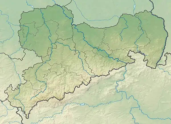
| Coordinates | 51°25′18″N 12°47′51″E / 51.42167°N 12.79750°E |
| Geography | |
| Location | Saxony, Germany |
| Parent range | Hohburg Hills |
Geology
Like the other mountains in the Hohburg area, the Löbenberg, the highest of these elevations, is of volcanic origin. Its age is estimated at around 280 million years. During the ice ages, the hilltop was ground down to its current round shape. It consists mostly of quartz porphyry, which was mined in several quarries from the mid-19th century to the early 1960s for use as paving stones and gravel.
References
This article is issued from Wikipedia. The text is licensed under Creative Commons - Attribution - Sharealike. Additional terms may apply for the media files.

