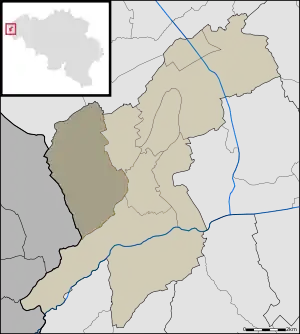
Leisele | |
|---|---|
 | |
| Coordinates: 50°59′5″N 2°37′20″E / 50.98472°N 2.62222°E | |
| Country | Belgium |
| Province | West Flanders |
| Municipality | Alveringem |
| Area | |
| • Total | 15.38 km2 (5.94 sq mi) |
| Population (1999-01-01) | |
| • Total | 774 |
| • Density | 50/km2 (130/sq mi) |
| Source: NIS | |
| Postal code | 8691 |
Leisele is a small Belgian town in Alveringem near the French border with about 750 inhabitants.
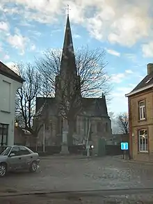
Saint Martinus Church, as seen from main road

Stalijzermolen windmill
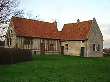
Inghels farm
This article is issued from Wikipedia. The text is licensed under Creative Commons - Attribution - Sharealike. Additional terms may apply for the media files.