Makanalua, Hawaii | |
|---|---|
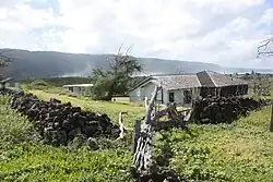 Lighthouse keepers' residence | |
 Makanalua | |
| Coordinates: 21°11′33″N 156°58′19″W / 21.19250°N 156.97194°W | |
| Country | United States |
| State | Hawaii |
| County | Kalawao |
| Area | |
| • Land | 3.229 sq mi (8.363 km2) |
| Elevation | 128 ft (39 m) |
| Population (2001) | |
| • Total | 8 |
| Time zone | UTC-10 (Hawaii-Aleutian) |
| Area code | 808 |
| GNIS feature ID | 362068[1] |
Makanalua (also Makanaloa) is an unincorporated community and ahupuaʻa in Kalawao County, Hawaii, United States.[1] During the Great Māhele of 1848, the land was retained for Princess Kekauʻōnohi. The name means "double gift" in the Hawaiian language.[2][3]
Notes
- 1 2 "Makanalua, Hawaii". Geographic Names Information System. United States Geological Survey, United States Department of the Interior.
- ↑ Lloyd J. Soehren (2010). "lookup of Salt Lake". in Hawaiian Place Names. Ulukau, the Hawaiian Electronic Library. Retrieved September 24, 2010.
- ↑ Pukui, Mary Kawena; Elbert, Samuel H.; Mookini, Esther T. (1974). Place Names of Hawaii. Honolulu: University of Hawaii Press. p. 141. ISBN 978-0-8248-0524-1. OCLC 1042464.
Islands, municipalities, and communities of Kalawao County, Hawaii, United States | ||
|---|---|---|
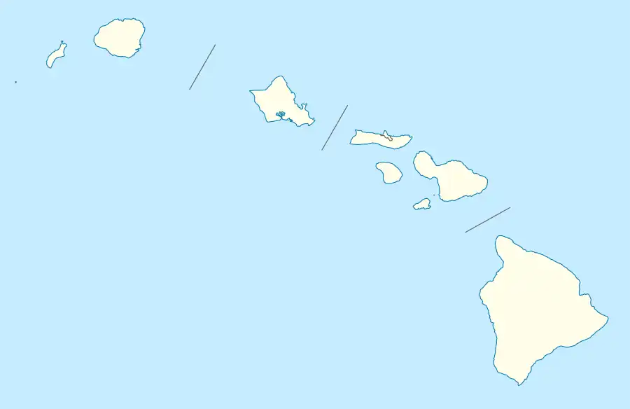
| Unincorporated communities |  Map of Hawaii highlighting Kalawao County | |
| Ghost Towns | ||
| Footnotes | ‡This populated place also has portions in an adjacent county or counties | |
This article is issued from Wikipedia. The text is licensed under Creative Commons - Attribution - Sharealike. Additional terms may apply for the media files.