| Maple Canyon | |
|---|---|
 South Canyon Wall, July 2016 | |
| Elevation | 6,835 ft (2,083 m) |
| Location | Sanpete County, Utah |
| Range | San Pitch Mountains |
| Coordinates | 39°33′19″N 111°40′40″W / 39.5554°N 111.6777°W |
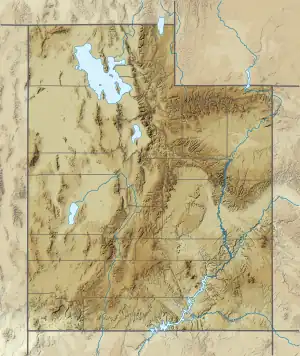
 Location in Utah  Location in the United States | |
Maple Canyon is a canyon in the northeastern San Pitch Mountains in northern Sanpete County, Utah, United States[1] Nearly all of the canyon, except the western end, is located within the Uinta National Forest. The mouth of the canyon is in the northwestern Sanpete Valley, south of Fountain Green and just northwest of the unincorporated community of Freedom,[2] at an elevation of 6,017 feet (1,834 m).[1]
The canyon offers rock climbing, camping, hiking and general recreation. Many climbing enthusiasts visit this area and have found excellent sport climbing due to the nature of the cobblestone rock.[3]
See also
References
- 1 2 U.S. Geological Survey Geographic Names Information System: Maple Canyon
- ↑ "MyTopo Maps - Maple Canyon, Sanpete County, UT, USA" (Map). mytopo.com. Trimble Navigation, Ltd. Retrieved 8 Feb 2020.
- ↑ "Rock Climbing Routes in Maple Canyon, Central Utah | Rockclimbing.com". www.rockclimbing.com. Retrieved 2018-09-03.
39°33′27″N 111°39′22″W / 39.55750°N 111.65611°W
This article is issued from Wikipedia. The text is licensed under Creative Commons - Attribution - Sharealike. Additional terms may apply for the media files.