Oberrad | |
|---|---|
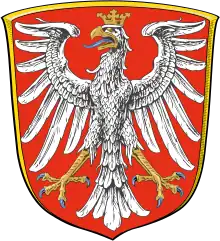
 Coat of arms | |
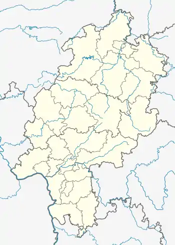
Location of Oberrad (red) and the Ortsbezirk Süd (light red) within Frankfurt am Main  | |
 Oberrad  Oberrad | |
| Coordinates: 50°06′02″N 08°43′27″E / 50.10056°N 8.72417°E | |
| Country | Germany |
| State | Hesse |
| Admin. region | Darmstadt |
| District | Urban district |
| City | Frankfurt am Main |
| Area | |
| • Total | 2.745 km2 (1.060 sq mi) |
| Population (2020-12-31)[1] | |
| • Total | 13,648 |
| • Density | 5,000/km2 (13,000/sq mi) |
| Time zone | UTC+01:00 (CET) |
| • Summer (DST) | UTC+02:00 (CEST) |
| Postal codes | 60599 |
| Dialling codes | 069 |
| Vehicle registration | F |
| Website | www.oberrad.de |
Oberrad is a quarter of Frankfurt am Main, Germany. It is part of the Ortsbezirk Süd.
To the north of the district lies the River Main. Beyond it, the Eastern Harbor (Osthafen) of Frankfurt in the Ostend borough. To the northeast, Oberrad is bordered by Offenbach's Kaiserlei district, to the south and west lie parts of Frankfurt-Sachsenhausen.
References
- ↑ "Frankfurt Statsitik Aktuell 07/2021". Stadt Frankfurt am Main. July 2021.
This article is issued from Wikipedia. The text is licensed under Creative Commons - Attribution - Sharealike. Additional terms may apply for the media files.
