| Oyster Cove Tasmania | |||||||||||||||
|---|---|---|---|---|---|---|---|---|---|---|---|---|---|---|---|
 Oyster Cove | |||||||||||||||
| Coordinates | 43°5′22.03″S 147°17′2.72″E / 43.0894528°S 147.2840889°E | ||||||||||||||
| Population | 319 (2016 census)[1] | ||||||||||||||
| Time zone | AEST (UTC+10) | ||||||||||||||
| • Summer (DST) | AEDT (UTC+11) | ||||||||||||||
| Location | 20 km (12 mi) SW of Kingston | ||||||||||||||
| LGA(s) | Kingborough, Huon Valley | ||||||||||||||
| Region | Hobart, South-east | ||||||||||||||
| State electorate(s) | Franklin | ||||||||||||||
| Federal division(s) | Franklin | ||||||||||||||
| |||||||||||||||
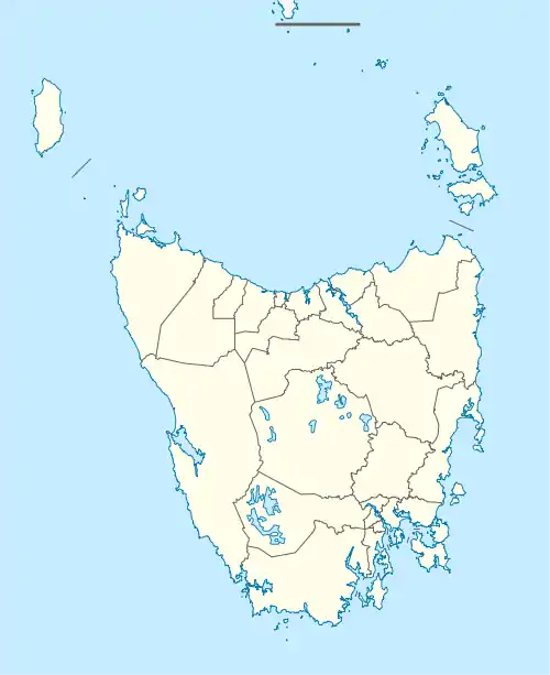
Oyster Cove is a semi-rural locality in the local government areas (LGA) of Kingborough and Huon Valley in the Hobart and South-east LGA regions of Tasmania. The locality is about 20 kilometres (12 mi) south-west of the town of Kingston. The 2016 census has a population of 319 for the state suburb of Oyster Cove.[1]
History
Oyster Cove was gazetted as a locality in 1968.[2] It was originally a convict station.[3] In 1847, 47 Aboriginal Tasmanians that had survived forced removal from the Tasmanian mainland to Wybalenna, Flinders Island, were moved to Oyster Cove.[4] The locality was returned to the indigenous people of Tasmania in 1995 under the Aboriginal Lands Act 1995,[5] and in 1999 Oyster Cove was declared an Indigenous Protected Area.[6]
Oyster Cove Post Office opened in 1897 and closed in 1924. It re-opened in 1927 and closed in 1964.[7]
In 1894, teacher Lily Poulett-Harris established the first woman's cricket league in Australia at Oyster Cove, The Oyster Cove Ladies Club.[8]
Geography
The shore of the D’Entrecasteaux Channel forms the eastern boundary.[9]
Road infrastructure
The Channel Highway (Route B68) passes through from north to south. Route C626 (Nicholls Rivulet Road) starts at an intersection with B68 and runs west until it exits.[2][10]
See also
References
- 1 2 "2016 Census Quick Stats Oyster Cove (Tas.)". quickstats.censusdata.abs.gov.au. Australian Bureau of Statistics. 23 October 2017. Retrieved 13 September 2020.
- 1 2 "Placenames Tasmania – Oyster Cove". Placenames Tasmania. Select “Search”, enter "1173J", click “Search”, select row, map is displayed, click “Details”. Retrieved 13 September 2020.
- ↑ "The Companion to Tasmanian History – Oyster Cove". The Companion to Tasmanian History. University of Tasmania. 2006. Retrieved 11 August 2014.
- ↑ "The Companion to Tasmanian History – Wybalenna". The Companion to Tasmanian History. University of Tasmania. 2006. Retrieved 11 August 2014.
- ↑ "ABORIGINAL LANDS ACT 1995 – Act 98 of 1995". Government of Tasmania. Retrieved 11 August 2014.
- ↑ "Risdon Cove and Putalina Indigenous Protected Areas". Department of the Environment (Australia). 5 July 2013. Retrieved 11 August 2014.
- ↑ "Post Office List". Premier Postal Auctions. Retrieved 21 September 2020.
- ↑ "Women's cricket in Australia is not such a new idea – it all started on a small island". www.abc.net.au. 30 May 2020.
- ↑ Google (13 September 2020). "Oyster Cove, Tasmania" (Map). Google Maps. Google. Retrieved 13 September 2020.
- ↑ "Tasmanian Road Route Codes" (PDF). Department of Primary Industries, Parks, Water & Environment. May 2017. Archived from the original (PDF) on 1 August 2017. Retrieved 13 September 2020.