Pecora Escarpment
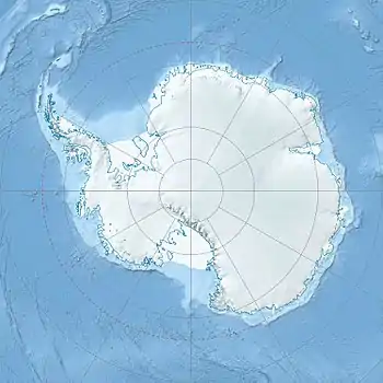
Location of Pecora Escarpment, Queen Elizabeth Land, Antarctica
Pecora Escarpment (85°38′S 68°42′W / 85.633°S 68.700°W) is an irregular escarpment, 7 nautical miles (13 km) long, standing 35 nautical miles (60 km) southwest of Patuxent Range and marking the southernmost exposed rocks of the Pensacola Mountains. Mapped by United States Geological Survey (USGS) from surveys and U.S. Navy air photos, 1956–66. Named by Dwight Schmidt, geologist to the Pensacola Mountains, 1962–66, for William T. Pecora, eighth director of the U.S. Geological Survey, 1965–71.
Features
Geographical features include:
References
![]() This article incorporates public domain material from "Pecora Escarpment". Geographic Names Information System. United States Geological Survey.
This article incorporates public domain material from "Pecora Escarpment". Geographic Names Information System. United States Geological Survey.
This article is issued from Wikipedia. The text is licensed under Creative Commons - Attribution - Sharealike. Additional terms may apply for the media files.