| Radunia | |
|---|---|
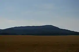
 Radunia. | |
| Highest point | |
| Elevation | 573 m (1,880 ft) |
| Coordinates | 50°50′N 16°41′E / 50.833°N 16.683°E |
| Geography | |
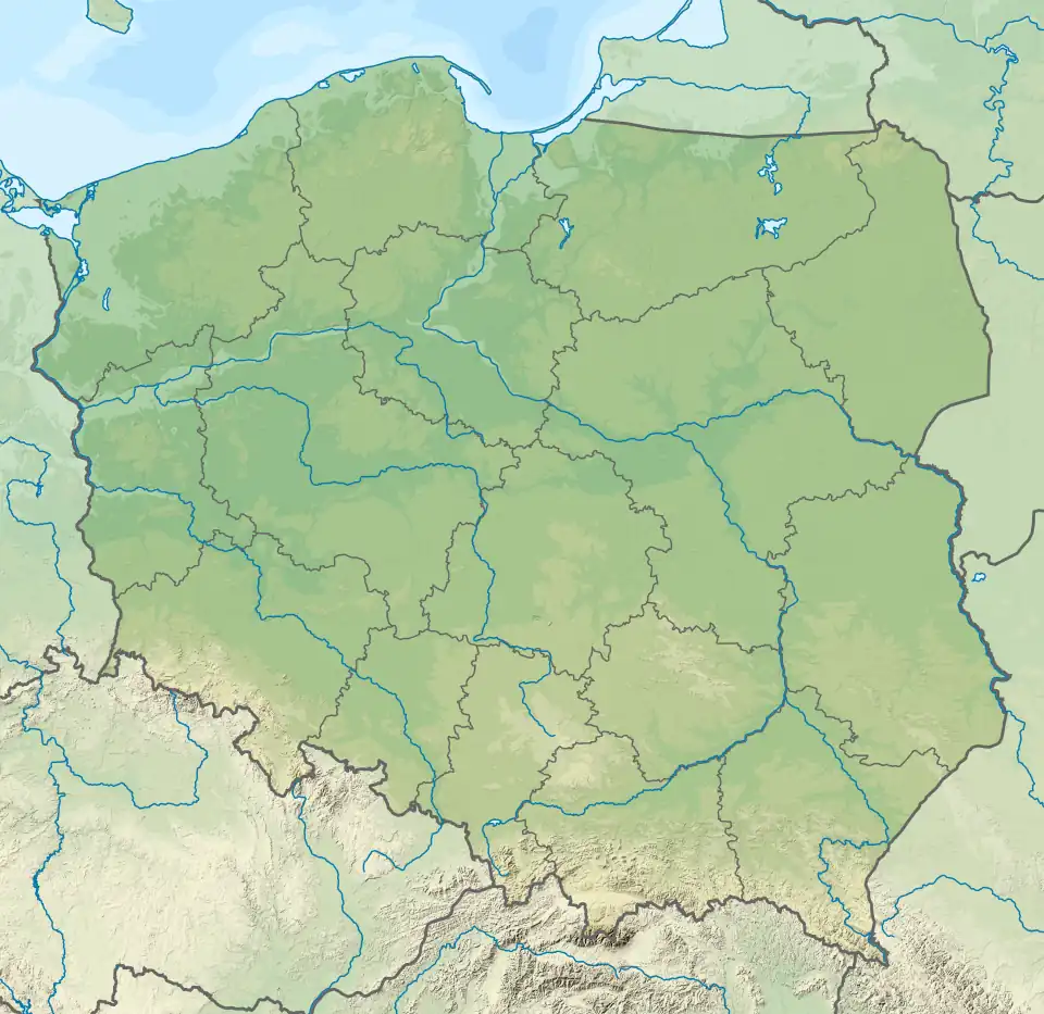
 Radunia Location in Poland | |
| Location | Lower Silesian Voivodeship, Poland |
| Parent range | Ślęża Masiff |
The Radunia (German: Geiersberg) is a hill in the Ślęża Masiff. Its height is 573 metres above sea level. It lies in Góra Radunia Nature Reserve.
The hill is situated in Dzierżoniów County, Lower Silesian Voivodeship, in south-western Poland.
External links
- sudety.it (in Polish)
- przewodnik.onet.pl (in Polish)
This article is issued from Wikipedia. The text is licensed under Creative Commons - Attribution - Sharealike. Additional terms may apply for the media files.