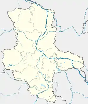
Riethnordhausen | |
|---|---|
Location of Riethnordhausen | |
 Riethnordhausen  Riethnordhausen | |
| Coordinates: 51°25′N 11°13′E / 51.417°N 11.217°E | |
| Country | Germany |
| State | Saxony-Anhalt |
| District | Mansfeld-Südharz |
| Municipal assoc. | Goldene Aue |
| Town | Wallhausen |
| Area | |
| • Total | 6.79 km2 (2.62 sq mi) |
| Elevation | 141 m (463 ft) |
| Population (2006-12-31) | |
| • Total | 563 |
| • Density | 83/km2 (210/sq mi) |
| Time zone | UTC+01:00 (CET) |
| • Summer (DST) | UTC+02:00 (CEST) |
| Postal codes | 06528 |
| Dialling codes | 0346456 |
| Vehicle registration | MSH |
| Website | www.vwg-goldene-aue.de |
Riethnordhausen is a village and a former municipality in the Mansfeld-Südharz district, Saxony-Anhalt, Germany. Since 1 July 2009, it is part of the municipality Wallhausen.
Geography
Riethnordhausen is situated in the Rieth in the lower Helme valley, north-east of the Kyffhäuser and south-west of Sangerhausen, the capital of the Mansfeld-Südharz, from which the connecting road leads to the place, which crosses here with the road between Kelbra and Artern.
This article is issued from Wikipedia. The text is licensed under Creative Commons - Attribution - Sharealike. Additional terms may apply for the media files.