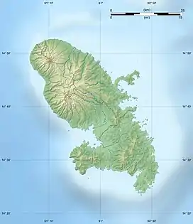
| Rivière de l'Anse Céron | |
|---|---|
 Location of mouth | |
| Location | |
| Country | France |
| Region | Martinique |
| Physical characteristics | |
| Mouth | Caribbean Sea |
• coordinates | 14°49′54″N 61°13′34″W / 14.8318°N 61.2262°W |
| Length | 6.3 km (3.9 mi) |
The Rivière de l'Anse Céron is a river of Martinique. It flows into the Caribbean Sea near Le Prêcheur. It is 6.3 km (3.9 mi) long.[1]
See also
References
This article is issued from Wikipedia. The text is licensed under Creative Commons - Attribution - Sharealike. Additional terms may apply for the media files.