| Robertson Bay | |
|---|---|
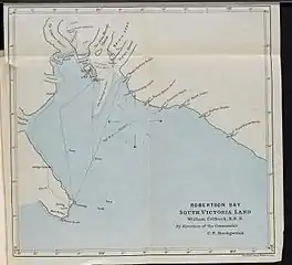 Map of Robertson Bay, First on the Antarctic continent, 1901 | |
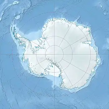 Robertson Bay Location in Antarctica | |
| Location | Victoria Land |
| Coordinates | 71°25′S 170°0′E / 71.417°S 170.000°E |
Robertson Bay is a large, roughly triangular bay that indents the north coast of Victoria Land between Cape Barrow and Cape Adare. Discovered in 1841 by Captain James Clark Ross, Royal Navy, who named it for Dr. John Robertson, Surgeon on HMS Terror.
See also
![]() This article incorporates public domain material from "Robertson Bay". Geographic Names Information System. United States Geological Survey.
This article incorporates public domain material from "Robertson Bay". Geographic Names Information System. United States Geological Survey.
This article is issued from Wikipedia. The text is licensed under Creative Commons - Attribution - Sharealike. Additional terms may apply for the media files.