Sant'Andrea Apostolo dello Ionio | |
|---|---|
| Comune di Sant'Andrea Apostolo dello Ionio | |
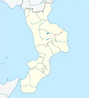
Location of Sant'Andrea Apostolo dello Ionio | |
 Sant'Andrea Apostolo dello Ionio Location of Sant'Andrea Apostolo dello Ionio in Italy  Sant'Andrea Apostolo dello Ionio Sant'Andrea Apostolo dello Ionio (Calabria) | |
| Coordinates: 38°37′N 16°32′E / 38.617°N 16.533°E | |
| Country | Italy |
| Region | Calabria |
| Province | Catanzaro (CZ) |
| Frazioni | Contrada Taverna, Fego, Sant'Andrea Ionio Marina[1] |
| Government | |
| • Mayor | Nicola Ramogida |
| Area | |
| • Total | 20 km2 (8 sq mi) |
| Elevation | 312 m (1,024 ft) |
| Population (31 December 2013)[2] | |
| • Total | 2,020 |
| • Density | 100/km2 (260/sq mi) |
| Demonym | Andreolesi |
| Time zone | UTC+1 (CET) |
| • Summer (DST) | UTC+2 (CEST) |
| Postal code | 88066 |
| Dialing code | 0967 |
| Patron saint | Saint Andrew the Apostle |
| Saint day | 30 November |
| Website | Official website |
Sant'Andrea Apostolo dello lonio (lit. 'Saint Andrew the Apostle on the Ionian Sea'), locally referred to as simply Sant'Andrea, is a comune and town in the province of Catanzaro in the region of Calabria, Italy.
Geography
The town is bordered by the river Alaca to the north, the Ionian Sea to the east, the river Salùbro in the south, and the foothills of the Calabrian Apennines in the west. The village lies in the hills of La Maddalena and Lipantana Cerasia. The municipal hall sits at an elevation of 330 meters above sea level.
References
- ↑ "Superficie di Comuni Province e Regioni italiane al 9 ottobre 2011". Italian National Institute of Statistics. Retrieved 16 March 2019.
- ↑ "Popolazione Residente al 1° Gennaio 2018". Italian National Institute of Statistics. Retrieved 16 March 2019.
This article is issued from Wikipedia. The text is licensed under Creative Commons - Attribution - Sharealike. Additional terms may apply for the media files.
