Saunemin, Illinois | |
|---|---|
| Village of Saunemin | |
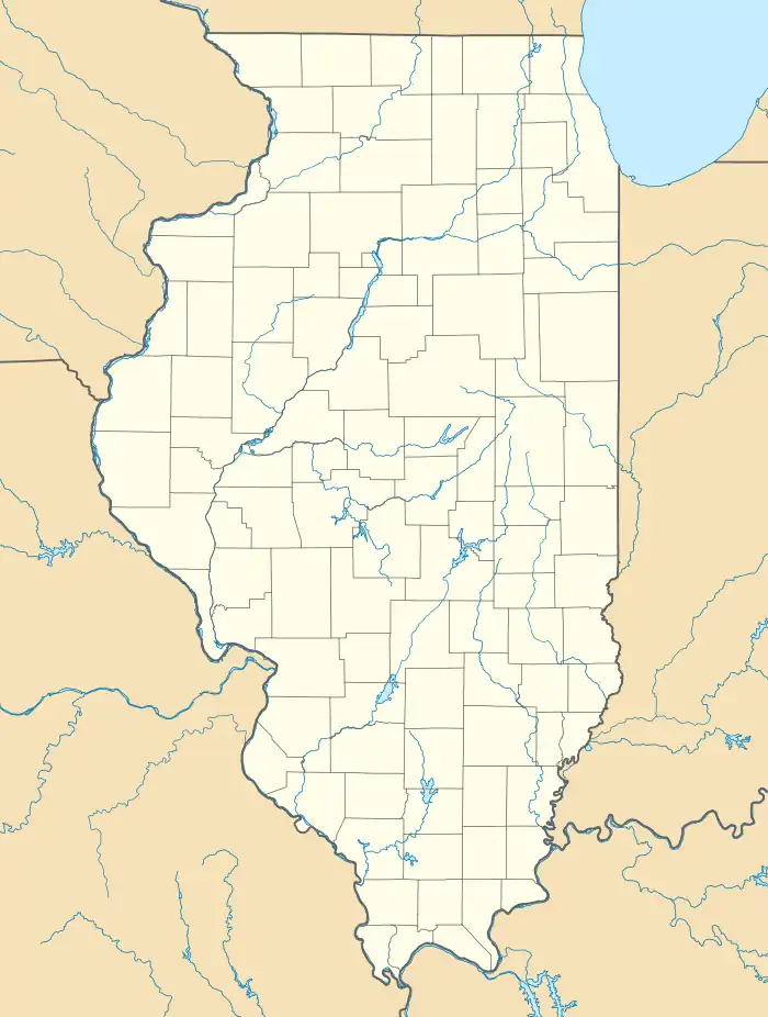
 Saunemin Location in Illinois  Saunemin Location in the United States | |
| Coordinates: 40°53′34″N 88°24′21″W / 40.89278°N 88.40583°W[1] | |
| Country | |
| State | |
| County | Livingston |
| Township | Saunemin |
| Founded | November 3, 1857 |
| Elevation | 686 ft (209 m) |
| Population | |
| • Total | 396 |
| ZIP code | 61769 |
| Area code | 815 |
| GNIS feature ID | 2399763[1] |
Saunemin is a village in Livingston County, Illinois, United States. As of 2023 the current population is 396.
Geography
Saunemin is located in eastern Livingston County. Illinois Route 116 passes through the southern side of the village, leading west 12 miles (19 km) to Pontiac, the county seat, and east 26 miles (42 km) to Ashkum. The village limits extend west along Route 116 to the crossroads with Illinois Route 47, which leads north 15 miles (24 km) to Dwight and south 10 miles (16 km) to Forrest.
Demographics
| Census | Pop. | Note | %± |
|---|---|---|---|
| 1880 | 228 | — | |
| 1890 | 366 | 60.5% | |
| 1900 | 350 | −4.4% | |
| 1910 | 357 | 2.0% | |
| 1920 | 360 | 0.8% | |
| 1930 | 376 | 4.4% | |
| 1940 | 341 | −9.3% | |
| 1950 | 338 | −0.9% | |
| 1960 | 392 | 16.0% | |
| 1970 | 415 | 5.9% | |
| 1980 | 463 | 11.6% | |
| 1990 | 399 | −13.8% | |
| 2000 | 456 | 14.3% | |
| 2010 | 420 | −7.9% | |
| 2020 | 398 | −5.2% | |
| U.S. Decennial Census[2] | |||
Notable people
- George S. Brydia, journalist, salesman, and politician,; born in Saunemin[3]
- Albert Cashier, a transgender man who enlisted in the army during the American Civil War
- Arthur R. Falter, businessman and politician[4]
- Ira M. Lish, businessman, Representative and Senator of Illinois[5]
References
- 1 2 3 U.S. Geological Survey Geographic Names Information System: Saunemin, Illinois
- ↑ "Census of Population and Housing". Census.gov. Retrieved June 4, 2015.
- ↑ 'Illinois Blue Book 1963-1964,' Biographical Sketch of George S. Brydia, pg. 272
- ↑ 'Illinois Blue Book 1961-1962,' Biographical Sketch of Arthur R. Falter, p. 310-311
- ↑ 'Illinois Blue Book 111-1912,' Biographical Sketch of Ira M. Lish, pg. 204-205
External links
This article is issued from Wikipedia. The text is licensed under Creative Commons - Attribution - Sharealike. Additional terms may apply for the media files.