Boldur | |
|---|---|
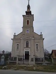
 Orthodox church in Jabăr | |
 Coat of arms | |
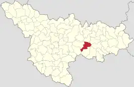
 Location in Timiș County | |
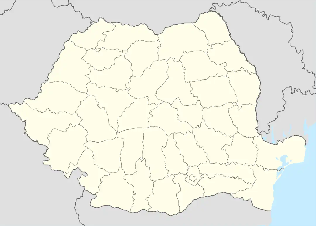
 Boldur Location in Romania | |
| Coordinates: 45°42′N 21°47′E / 45.700°N 21.783°E | |
| Country | Romania |
| County | Timiș |
| Government | |
| • Mayor (2020–2024) | Constantin-Cristian Stoi[1] (PSD) |
| Area | 84.81 km2 (32.75 sq mi) |
| Population (2021-12-01)[3] | 2,407 |
| • Density | 28/km2 (74/sq mi) |
| Time zone | EET/EEST (UTC+2/+3) |
| Postal code | 307080–307083 |
| Vehicle reg. | TM |
Boldur (Hungarian: Boldor; German: Boldur) is a commune in Timiș County, Romania. It is composed of four villages: Boldur (commune seat), Jabăr, Ohaba-Forgaci and Sinersig.
History
The first recorded mention of Boldur dates from 1290, being mentioned in a Hungarian diploma with the name Bulder.[4] In the Middle Ages the name changed, but kept the same root: Boudor (1368), Boldur (1371), Boldor (1416), Boldur (1597), etc.[4] At the end of the 16th century, it was part of the commune of Belinț and belonged to Transylvania. From 1690 to 1700 it is definitely called Boldur. Around 1739 there were colonizations with Romanians from Oltenia (bufeni), against the background of the Austro-Turkish War, which caused the emigration of many families to Banat. In the past, the hearth of the village was on the site of the former cemetery. After the settlement of Oltenians here, Boldur was divided into two areas: that of the frătuți (natives) and that of the bufeni (Oltenians), from which present-day Boldur resulted.[5]
Jabăr was first mentioned in 1597, when Sigismund Báthory donated Sabat together with other localities to the Bejan family.[4] After passing through the property of several noblemen, in 1650 it is an estate of the Aerarium. Around 1690–1700, the toponym Sabar appears in historical documents.[4] This would mean "bullfrog", so the "village of bullfrogs".[6] The consonant J from the root Jabăr appeared through the Hungarianization in zs of the old consonant z, taken over sonorously in Romanian. In 1717 the name of the village was changed to Jabăr. At that time it belonged to the district of Făget and had 33 houses. Before the Revolution of 1848, the village was owned by the Milencovici family, after which the locality was put up for auction.[6]
The first recorded mention of Ohaba-Forgaci is from 1442, when by order of King Ulászló I, the estates of some villages, Chewhaba among them, passed into the possession of Nicolae Turcsin and Mihai Cornethi.[4] On Count Mercy's map it appears in the district of Lugoj, inhabited by Romanians. Around 1880 the name of the village is Csev-Ohaba. The name "Forgaci" was given much later, in honor of the district councilor Antal Forgách to distinguish it from the name "Ohaba" in Transylvania and especially in the counties of Arad and Caraș-Severin.[6]
The first recorded mentions of the existence of Sinersig are from 1323, when it was the property of Ioan Dan, a chatelaine from Jdioara.[4] The name "Sinersig" comes from the older Szénaszeg, the Hungarian széna meaning 'hay', and szeg, 'corner', 'angle', which means that it was formed in a place with hay, in a meadow with a small number of inhabitants.[6] In the documents from Matthias I from 1471, the village appears as "passessio" next to the "castellum" and "appidum" of Hodoș. For a century the estates of the locality knew a series of owners: in 1781 Iosif Kereztury, in 1790 Count Ioan Althyn, and at the beginning of the 19th century it became the property of the Gyurky family.[6] Sinersig was incorporated into the commune of Boldur in August 1968.[6]
Demographics
Boldur had a population of 2,439 inhabitants at the 2011 census, down 5% from the 2002 census. Most inhabitants are Romanians (92.54%), larger minorities being represented by Hungarians (1.64%) and Ukrainians (1.6%). For 4.1% of the population, ethnicity is unknown.[7] By religion, most inhabitants are Orthodox (90.41%), but there are also minorities of Roman Catholics (2.05%) and Pentecostals (1.68%). For 4.1% of the population, religious affiliation is unknown.[8]
| Census[9] | Ethnic composition | ||||
|---|---|---|---|---|---|
| Year | Population | Romanians | Hungarians | Germans | Ukrainians |
| 1880 | 4,481 | 4,159 | 265 | 47 | – |
| 1890 | 4,491 | 4,121 | 254 | 62 | – |
| 1900 | 4,680 | 4,178 | 342 | 102 | – |
| 1910 | 4,669 | 4,149 | 408 | 68 | – |
| 1920 | 4,088 | 3,740 | 268 | 53 | – |
| 1930 | 4,076 | 3,709 | 278 | 64 | – |
| 1941 | 3,857 | 3,503 | 222 | 72 | – |
| 1956 | 3,947 | 3,713 | 180 | 30 | 2 |
| 1966 | 3,693 | 3,547 | 115 | 22 | – |
| 1977 | 3,685 | 3,527 | 108 | 13 | 6 |
| 1992 | 2,594 | 2,470 | 60 | 4 | 36 |
| 2002 | 2,567 | 2,446 | 51 | 6 | 50 |
| 2011 | 2,439 | 2,257 | 40 | – | 39 |
References
- ↑ "Results of the 2020 local elections". Central Electoral Bureau. Retrieved 16 June 2021.
- ↑ "Primăria Boldur". Ghidul Primăriilor.
- ↑ "Populaţia rezidentă după grupa de vârstă, pe județe și municipii, orașe, comune, la 1 decembrie 2021" (XLS). National Institute of Statistics.
- 1 2 3 4 5 6 Szabó, M. Attila (2003). Erdély, Bánság és Partium történeti és közigazgatási helységnévtára. Miercurea Ciuc: Pro-Print Kiadó.
- ↑ "Fișa Primăriei comunei Boldur". Consiliul Județean Timiș.
- 1 2 3 4 5 6 Pătruț, Ștefan (2006). Monografia comunei Boldur. Lugoj: Nagard. ISBN 978-973-7690-32-6.
- 1 2 "Tab8. Populația stabilă după etnie – județe, municipii, orașe, comune". Institutul Național de Statistică. Archived from the original on 2016-01-18. Retrieved 2021-09-09.
- 1 2 "Tab13. Populația stabilă după religie – județe, municipii, orașe, comune". Institutul Național de Statistică. Archived from the original on 2020-08-07. Retrieved 2021-09-09.
- ↑ Varga, E. Árpád. "Temes megye településeinek etnikai (anyanyelvi/nemzetiségi) adatai 1880-2002" (PDF). Archived from the original (PDF) on 2007-06-10. Retrieved 2021-09-09.
