Saint-Pie | |
|---|---|
 Riviere Noire | |
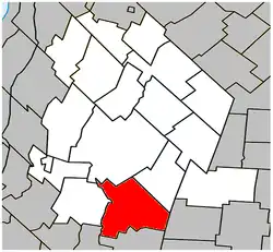 Location within Les Maskoutains RCM | |
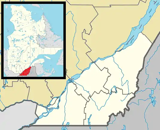 Saint-Pie Location in southern Quebec | |
| Coordinates: 45°30′N 72°54′W / 45.500°N 72.900°W[1] | |
| Country | |
| Province | |
| Region | Montérégie |
| RCM | Les Maskoutains |
| Constituted | February 28, 2003 |
| Government | |
| • Mayor | Pierre St-Onge |
| • Federal riding | Saint-Hyacinthe—Bagot |
| • Prov. riding | Saint-Hyacinthe |
| Area | |
| • Total | 108.60 km2 (41.93 sq mi) |
| • Land | 109.03 km2 (42.10 sq mi) |
| There is an apparent contradiction between two authoritative sources | |
| Population | |
| • Total | 5,438 |
| • Density | 49.9/km2 (129/sq mi) |
| • Pop (2006-2011) | |
| • Dwellings | 2,319 |
| Time zone | UTC−5 (EST) |
| • Summer (DST) | UTC−4 (EDT) |
| Postal code(s) | |
| Area code(s) | 450 and 579 |
| Highways | |
| Website | www |
Saint-Pie is a city in the Montérégie region of southwest Quebec. The population as of the Canada 2011 Census was 5,438.
The former parish municipality of Saint-Pie was amalgamated into the City of Saint-Pie on February 28, 2003.
Demographics
| Year | Pop. | ±% |
|---|---|---|
| 1991 | 2,083 | — |
| 1996 | 2,249 | +8.0% |
| 2001 | 2,396 | +6.5% |
| 2003M | 4,927 | +105.6% |
| 2006 | 5,109 | +3.7% |
| 2011 | 5,438 | +6.4% |
(M) merger with Parish of Saint-Pie on February 28, 2003. | ||
In the 2021 Census of Population conducted by Statistics Canada, Saint-Pie had a population of 5,847 living in 2,413 of its 2,511 total private dwellings, a change of 4.3% from its 2016 population of 5,607. With a land area of 107.42 km2 (41.48 sq mi), it had a population density of 54.4/km2 (141.0/sq mi) in 2021.[6]
Canada census – Saint-Pie community profile
| 2021 | 2011 | |
|---|---|---|
| Population | 5,847 (+4.3% from 2016) | 5,438 (+6.4% from 2006) |
| Land area | 107.42 km2 (41.48 sq mi) | 109.03 km2 (42.10 sq mi) |
| Population density | 54.4/km2 (141/sq mi) | 49.9/km2 (129/sq mi) |
| Median age | 40 (M: 40.4, F: 39.6) | 38.8 (M: 39.1, F: 38.4) |
| Private dwellings | 2,415 (total) | 2,319 (total) |
| Median household income | $53,639 |
| Canada Census Mother Tongue - Saint-Pie, Quebec[5] | ||||||||||||||||||
|---|---|---|---|---|---|---|---|---|---|---|---|---|---|---|---|---|---|---|
| Census | Total | French |
English |
French & English |
Other | |||||||||||||
| Year | Responses | Count | Trend | Pop % | Count | Trend | Pop % | Count | Trend | Pop % | Count | Trend | Pop % | |||||
2011 |
5,395 |
5,315 | 98.52% | 30 | 0.55% | 15 | 0.28% | 35 | 0.65% | |||||||||
2006 |
5,090 |
4,985 | 97.94% | 80 | 1.57% | 10 | 0.20% | 15 | 0.29% | |||||||||
2001 |
2,360 |
2,335 | 98.94% | 15 | 0.64% | 0 | 0.00% | 10 | 0.42% | |||||||||
1996 |
2,235 |
2,185 | n/a | 97.76% | 15 | n/a | 0.67% | 10 | n/a | 0.45% | 25 | n/a | 1.12% | |||||
See also
References
- ↑ "Banque de noms de lieux du Québec: Reference number 362829". toponymie.gouv.qc.ca (in French). Commission de toponymie du Québec.
- 1 2 Ministère des Affaires municipales, des Régions et de l'Occupation du territoire: Saint-Pie
- ↑ Parliament of Canada Federal Riding History: SAINT-HYACINTHE--BAGOT (Quebec)
- 1 2 3 "2011 Community Profiles". 2011 Canadian Census. Statistics Canada. March 21, 2019. Retrieved 2014-03-15.
- 1 2 Statistics Canada: 1996, 2001, 2006, 2011 census
- ↑ "Population and dwelling counts: Canada, provinces and territories, and census subdivisions (municipalities), Quebec". Statistics Canada. February 9, 2022. Retrieved August 29, 2022.
- ↑ "2021 Community Profiles". 2021 Canadian Census. Statistics Canada. February 4, 2022. Retrieved 2022-04-27.
- ↑ "2006 Community Profiles". 2006 Canadian Census. Statistics Canada. August 20, 2019.
- ↑ "2001 Community Profiles". 2001 Canadian Census. Statistics Canada. July 18, 2021.
External links
Wikimedia Commons has media related to Saint-Pie.
Adjacent Municipal Subdivisions | |
|---|---|
| Cities | |
|---|---|
| Municipalities | |
| Parishes | |
| Villages | |
| |
This article is issued from Wikipedia. The text is licensed under Creative Commons - Attribution - Sharealike. Additional terms may apply for the media files.