Te Pōhue | |
|---|---|
 Te Pōhue | |
| Coordinates: 39°15′S 176°41′E / 39.250°S 176.683°E | |
| Country | New Zealand |
| Region | Hawke's Bay |
| Territorial authority | Hastings District |
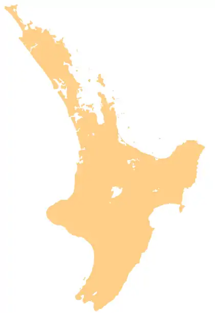
Te Pōhue is a small settlement in inland Hawke's Bay, in New Zealand's eastern North Island. It lies on State Highway 5, 31 kilometres inland from Whirinaki.[1]
The remote settlement was once on a Māori track cutting across the tribal boundaries of Ngāti Kahungunu and Ngāti Tūwharetoa, two tribes who had made peace after a conflict. The modern settlement began as a hotel for travellers in the 1870s, when the original Napier to Taupo coach road was being cut through what was then a dense forest.[2]
Two wind farms were approved for the area in 2006, despite some opposition from local residents.[3]
Education
Te Pohue School is co-educational state primary school,[4] with a roll of 15 as of April 2023.[5][6]
References
- ↑ Hariss, Gavin. "Te Pohue, Bay of Plenty". topomap.co.nz. NZ Topo Map.
- ↑ Pollock, Kerryn. "Roadside Stories: Te Pōhue, travellers' stop". Te Ara - the Encyclopedia of New Zealand. Ministry for Culture and Heritage.
- ↑ Gullery, Lawrence (20 July 2006). "Environment Court says yes to Te Pohue turbines". APN News & Media. Hawke's Bay Today.
- ↑ "Ministry of Education School Profile". educationcounts.govt.nz. Ministry of Education.
- ↑ "New Zealand Schools Directory". New Zealand Ministry of Education. Retrieved 12 December 2022.
- ↑ "Education Review Office Report". ero.govt.nz. Education Review Office.
39°15′S 176°41′E / 39.250°S 176.683°E
This article is issued from Wikipedia. The text is licensed under Creative Commons - Attribution - Sharealike. Additional terms may apply for the media files.