Habit Awlad Muhammad Airport | |||||||||||
|---|---|---|---|---|---|---|---|---|---|---|---|
| Summary | |||||||||||
| Airport type | Civil | ||||||||||
| Operator | Government | ||||||||||
| Location | Libya | ||||||||||
| Elevation AMSL | 2,000 ft / 610 m | ||||||||||
| Coordinates | 30°42′00″N 12°29′05″E / 30.70000°N 12.48472°E | ||||||||||
| Map | |||||||||||
 HL78 | |||||||||||
| Runways | |||||||||||
| |||||||||||
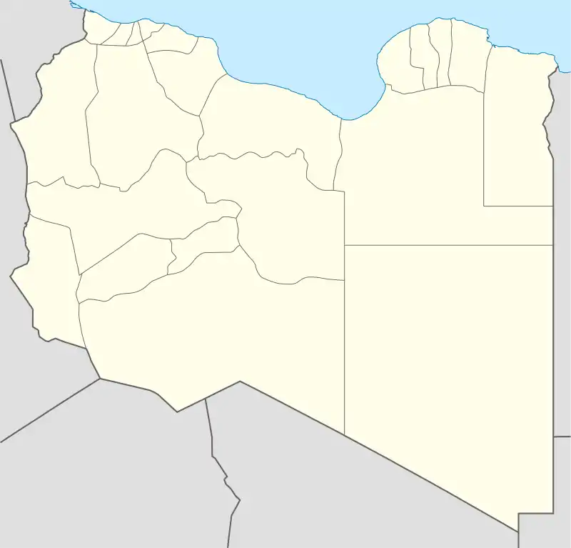
Habit Awlad Muhammad Airport is an airport in the Jabal al Gharbi District of Libya, located approximately 266 kilometres (165 mi) south-southwest of Tripoli in the Libyan desert. Its primary use is the transportation of oilfield workers from production facilities in the area.
World War II
During World War II the airfield, then known as Tmed El Chel Airfield was used as a military airfield by the United States Army Air Force during the North African Campaign against Axis forces.
USAAF Ninth Air Force units which used the airfield were:
- 81st Bombardment Squadron, (12th Bombardment Group), 11 January-3 February 1943, B-25 Mitchell
- 82d Bombardment Squadron, (12th Bombardment Group), 10 January-4 February 1943, B-25 Mitchell[3]
See also
References
- ↑ Airport information for Habit Awlad Muhammad Airport at Great Circle Mapper.
- ↑ "Habit Awlad Muhammad Airport". Google Maps. Retrieved 11 September 2018.
- ↑
 This article incorporates public domain material from the Air Force Historical Research Agency
- Maurer, Maurer. Air Force Combat Units of World War II. Maxwell AFB, Alabama: Office of Air Force History, 1983. ISBN 0-89201-092-4.
- Combat Squadrons of the Air Force, World War IIMaurer, Maurer, ed. (1982) [1969]. Combat Squadrons of the Air Force, World War II (PDF) (reprint ed.). Washington, DC: Office of Air Force History. ISBN 0-405-12194-6. LCCN 70605402. OCLC 72556.
External links
- OpenStreetMap - Habit Awlad Muhammad Airport
- OurAirports - Habit Awlad Muhammad Airport
This article is issued from Wikipedia. The text is licensed under Creative Commons - Attribution - Sharealike. Additional terms may apply for the media files.
.svg.png.webp)