Tongpu Township
同普乡 | |
|---|---|
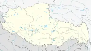
 Tongpu Location in Tibet | |
| Coordinates: 31°35′08″N 98°22′27″E / 31.58556°N 98.37417°E | |
| Country | China |
| Region | Tibet |
| Prefecture | Qamdo |
| County | Jomda |
| Time zone | UTC+8 (China Standard) |
Tongpu Township (simplified Chinese: 同普乡; traditional Chinese: 同普鄉; pinyin: Tóngpǔ Xiāng), also referred to as Tangpu, is a township in the northeast of the Tibet Autonomous Region, People's Republic of China. It is located in Jomda County and is situated 22 kilometres (14 mi) northeast of the county seat along China National Highway 317.
See also
References
- Dorje, Gyurme; Pommeret, Françoise (1999). Footprint Tibet handbook. Footprint Handbooks. ISBN 9781900949330. Retrieved 2012-01-15. ISBN 0-8442-2190-2
- "Tangpu Map — Satellite Images of Tangpu". Maplandia.com. Retrieved January 15, 2012.
{{cite web}}: External link in|publisher=
This article is issued from Wikipedia. The text is licensed under Creative Commons - Attribution - Sharealike. Additional terms may apply for the media files.