| Uil Ойыл | |
|---|---|
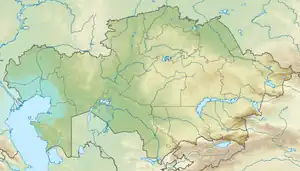 Mouth location in Kazakhstan | |
| Location | |
| Country | Kazakhstan |
| Physical characteristics | |
| Source | Mugodzhar |
| • coordinates | 49°32′N 56°48′E / 49.533°N 56.800°E |
| Mouth | Aktobe |
• coordinates | 48°32′28″N 52°24′15″E / 48.5410°N 52.4041°E |
| Length | 800 km (500 mi) |
| Basin size | 31,500 km2 (12,200 sq mi) |
The Uil (Kazakh: Ойыл, romanized: Oyyl; Russian: Уил, romanized: Uil) is a river of Aktobe, Atyrau and West Kazakhstan regions, Kazakhstan. It is 800 kilometres (500 mi) long, and has a drainage basin of 31,500 square kilometres (12,200 sq mi).[1]
Course
It has its sources in the Mugodzhar Hills and has many tributaries. Finally it discharges into lake Aktobe in the Caspian Depression.[2][3]
See also
References
- ↑ Уил, Great Soviet Encyclopedia
- ↑ "M-43 Topographic Chart (in Russian)". Retrieved 13 October 2022.
- ↑ Google Earth
This article is issued from Wikipedia. The text is licensed under Creative Commons - Attribution - Sharealike. Additional terms may apply for the media files.