| North Wraxall | |
|---|---|
 Parish church of St James the Great | |
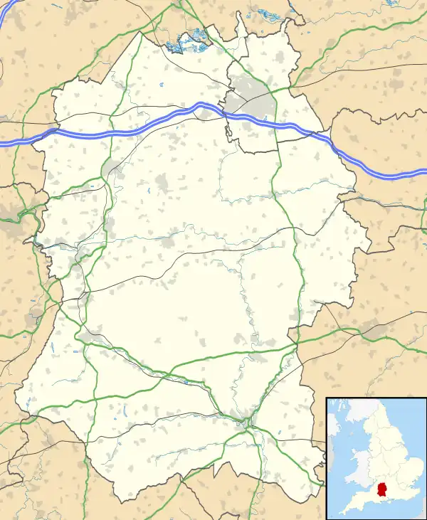
 North Wraxall Location within Wiltshire | |
| Population | 401 (2011 Census)[1] |
| OS grid reference | ST819750 |
| Unitary authority | |
| Ceremonial county | |
| Region | |
| Country | England |
| Sovereign state | United Kingdom |
| Post town | Chippenham |
| Postcode district | SN14 |
| Dialling code | 01249 |
| Police | Wiltshire |
| Fire | Dorset and Wiltshire |
| Ambulance | South Western |
| UK Parliament | |
| Website | Parish Council |
North Wraxall is a village and civil parish in Wiltshire, England. The village is about 6 miles (10 km) west of Chippenham, just north of the A420 road between Chippenham and Bristol.
The parish includes the village of Ford and the hamlets of Upper Wraxall, Mountain Bower and The Shoe. The 2011 Census recorded the parish population as 401.[1]
The Fosse Way Roman road crosses the parish as a minor road. There was a Roman villa at Truckle Hill.[2] Danks Down and Truckle Hill is a biological Site of Special Scientific Interest, as is Out Woods. The name of the community originated from Wroxall, "derived from 'wroc' either meaning buzzard or a personal name and 'healh' seen as an angle or corner".[3]
Early history
A Roman villa stood in this area in the 2nd century. The site has been excavated on at least three occasions, firstly by one of the Scrope family of landowners in 1852 and most recently in 2010. Some reports refer to the site as the North Wraxall or Truckle Hill villa. Evidence of a bath-house and corn drying ovens was found, the latter from the 4th century.[4] The villa itself apparently had 16 rooms, and there were additional buildings and a cemetery.[5] Neolithic flint tools and Iron Age brooches were also discovered not far from the villa, in 1985.[3]
The Domesday Book of 1086 states that the land was held by "Baldwin in the reign of King Edward prior to the Norman Conquest" and by "by Godfrey" afterwards; 32 households were recorded.[6] This was an agricultural area in the 1800s; the cloth industry was also important for a time and many of the buildings housed workers. During that century the population increased and then declined, to 371 by 1891. In 2001, there were 348 people. No industry remained by the early 1900s and nearly all buildings once used for by industry became residential.[3]
Parish church
The oldest parts of the Church of England parish church of St James the Great are 13th-century. The baptismal font and south porch are 14th-century. The north aisle was rebuilt in the 18th century. The building is Grade I listed.[7] St James' parish is part of the Bybrook Benefice.[8]
References
- 1 2 "North Wraxall: Population". Wiltshire Community History. Wiltshire Council. Retrieved 25 April 2023.
- ↑ Historic England. "Site of a Roman villa at Truckle Hill (208315)". Research records (formerly PastScape). Retrieved 19 March 2015.
- 1 2 3 "North Wraxall". Wiltshire Community History. Wiltshire Council. Retrieved 21 March 2022.
- ↑ "Truckle Hill Roman Villa". Retrieved 17 March 2021.
- ↑ Historic England. "Site of a Roman villa at Truckle Hill (208315)". Research records (formerly PastScape). Retrieved 21 March 2022.
- ↑ North Wraxall in the Domesday Book
- ↑ Historic England. "Church of St James (Grade I) (1022991)". National Heritage List for England. Retrieved 11 March 2015.
- ↑ "St James the Great, North Wraxall". Bybrook Benefice. March 2015. Retrieved 25 April 2023.
Further reading
- Pevsner, Nikolaus; Cherry, Bridget (revision) (1975) [1963]. Wiltshire. The Buildings of England (2nd ed.). Harmondsworth: Penguin Books. ISBN 0-14-0710-26-4.
External links
![]() Media related to North Wraxall at Wikimedia Commons
Media related to North Wraxall at Wikimedia Commons
- North Wraxall Parish Council
- "North Wraxall". Wiltshire Community History. Wiltshire Council. Retrieved 21 March 2022.