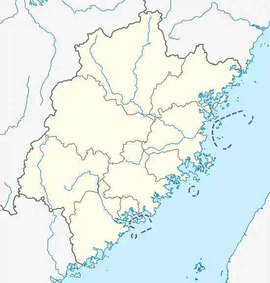
Yongtai
永泰县 Yungtai | |
|---|---|
 | |
 Yongtai Location in Fujian | |
| Coordinates: 25°54′N 118°56′E / 25.900°N 118.933°E | |
| Country | People's Republic of China |
| Province | Fujian |
| Prefecture-level city | Fuzhou |
| Time zone | UTC+8 (China Standard) |
Yongtai County (Chinese: 永泰; pinyin: Yǒngtài; Foochow Romanized: Īng-tái) is a county of Fujian Province, China, it is under the administration of the prefecture-level city of Fuzhou, the provincial capital.
Transportation
- Yongtai Station on the Xiangtang–Putian Railway, a junction of the railways two branches (one runs north to Fuzhou, the other south to Putian). A large portion of the railway trackage within the county is in tunnels.
Climate
| Climate data for Yongtai (1991–2020 normals, extremes 1981–2010) | |||||||||||||
|---|---|---|---|---|---|---|---|---|---|---|---|---|---|
| Month | Jan | Feb | Mar | Apr | May | Jun | Jul | Aug | Sep | Oct | Nov | Dec | Year |
| Record high °C (°F) | 31.0 (87.8) |
34.4 (93.9) |
34.1 (93.4) |
35.8 (96.4) |
37.9 (100.2) |
39.1 (102.4) |
41.4 (106.5) |
40.1 (104.2) |
39.2 (102.6) |
37.0 (98.6) |
35.8 (96.4) |
30.5 (86.9) |
41.4 (106.5) |
| Mean daily maximum °C (°F) | 16.4 (61.5) |
17.8 (64.0) |
20.7 (69.3) |
25.5 (77.9) |
28.8 (83.8) |
32.0 (89.6) |
35.0 (95.0) |
34.1 (93.4) |
31.3 (88.3) |
27.1 (80.8) |
22.9 (73.2) |
18.3 (64.9) |
25.8 (78.5) |
| Daily mean °C (°F) | 11.2 (52.2) |
12.3 (54.1) |
14.9 (58.8) |
19.5 (67.1) |
23.2 (73.8) |
26.6 (79.9) |
28.8 (83.8) |
28.1 (82.6) |
26.0 (78.8) |
21.7 (71.1) |
17.7 (63.9) |
13.0 (55.4) |
20.2 (68.5) |
| Mean daily minimum °C (°F) | 7.8 (46.0) |
8.7 (47.7) |
11.0 (51.8) |
15.2 (59.4) |
19.4 (66.9) |
22.9 (73.2) |
24.5 (76.1) |
24.3 (75.7) |
22.3 (72.1) |
17.8 (64.0) |
14.1 (57.4) |
9.4 (48.9) |
16.5 (61.6) |
| Record low °C (°F) | −2.6 (27.3) |
−1.8 (28.8) |
−2.5 (27.5) |
4.2 (39.6) |
7.6 (45.7) |
12.3 (54.1) |
19.8 (67.6) |
19.2 (66.6) |
13.0 (55.4) |
6.4 (43.5) |
0.7 (33.3) |
−4.8 (23.4) |
−4.8 (23.4) |
| Average precipitation mm (inches) | 55.0 (2.17) |
77.2 (3.04) |
122.2 (4.81) |
143.9 (5.67) |
218.0 (8.58) |
243.2 (9.57) |
179.3 (7.06) |
211.1 (8.31) |
128.8 (5.07) |
55.3 (2.18) |
48.7 (1.92) |
43.3 (1.70) |
1,526 (60.08) |
| Average precipitation days (≥ 0.1 mm) | 9.2 | 12.2 | 16.3 | 15.1 | 17.7 | 16.5 | 12.6 | 16.3 | 12.3 | 6.8 | 8.6 | 8.4 | 152 |
| Average snowy days | 0 | 0.1 | 0 | 0 | 0 | 0 | 0 | 0 | 0 | 0 | 0 | 0.1 | 0.2 |
| Average relative humidity (%) | 76 | 77 | 77 | 76 | 79 | 81 | 77 | 79 | 78 | 75 | 77 | 76 | 77 |
| Mean monthly sunshine hours | 103.1 | 96.9 | 110.8 | 128.9 | 137.0 | 147.8 | 223.8 | 192.1 | 159.4 | 150.6 | 114.9 | 111.7 | 1,677 |
| Percent possible sunshine | 31 | 30 | 30 | 34 | 33 | 36 | 54 | 48 | 43 | 43 | 36 | 34 | 38 |
| Source: China Meteorological Administration[1][2] | |||||||||||||
Administrative divisions
Towns:[3]
- Zhangcheng (樟城镇), Songkou (嵩口镇), Wutong (梧桐镇), Geling (葛岭镇), Chengfeng (城峰镇), Qingliang (清凉镇), Changqing (长庆镇), Tong'an (同安镇), Dayang (大洋镇)
Towns:
- Tangqian Township (塘前乡), Fuquan Township (富泉乡), Linglu Township (岭路乡), Chixi Township (赤锡乡), Fukou Township (洑口乡), Gaiyang Township (盖洋乡), Dongyang Township (东洋乡), Xiaba Township (霞拔乡), Pangu Township (盘谷乡), Hongxing Township (红星乡), Baiyun Township (白云乡), Danyun Township (丹云乡)
References
- ↑ 中国气象数据网 – WeatherBk Data (in Simplified Chinese). China Meteorological Administration. Retrieved 23 June 2023.
- ↑ 中国气象数据网 (in Simplified Chinese). China Meteorological Administration. Retrieved 23 June 2023.
- ↑ "福州市-行政区划网 www.xzqh.org" (in Chinese). XZQH. Retrieved 2012-05-24.
External links
Wikimedia Commons has media related to Yongtai.
This article is issued from Wikipedia. The text is licensed under Creative Commons - Attribution - Sharealike. Additional terms may apply for the media files.