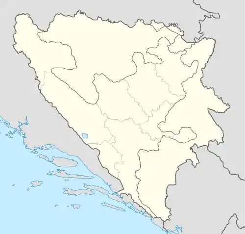
Čule | |
|---|---|
 Čule | |
| Coordinates: 43°17′51″N 17°45′57″E / 43.29750°N 17.76583°E | |
| Country | Bosnia and Herzegovina |
| Entity | Federation of Bosnia and Herzegovina |
| Canton | Herzegovina-Neretva |
| Municipality | Mostar |
| Area | |
| • Total | 3.05 sq mi (7.89 km2) |
| Population (2013) | |
| • Total | 387 |
| • Density | 130/sq mi (49/km2) |
| Time zone | UTC+1 (CET) |
| • Summer (DST) | UTC+2 (CEST) |
| Postal code | 88000 (Same as Mostar) |
| Area code | (+387) 36 345 |
Čule is a populated settlement in the Mostar municipality, Herzegovina-Neretva Canton, Federation of Bosnia and Herzegovina, Bosnia and Herzegovina. It is situated southwest of the city of Mostar along the R424 road.[1]
Landmarks
The village contains the bagel shop Pekara Čula and the Svadbeni salon Luna, a venue that is used for weddings. The Catholic church of Crkva svetog Ilije proroka lies to the west in Selište.[1]
Demographics
According to the 2013 census, its population was 387, all Croats.[2]
References
- 1 2 Google (26 February 2020). "Čule" (Map). Google Maps. Google. Retrieved 26 February 2020.
- ↑ "Naseljena Mjesta 1991/2013" (in Croatian). Statistical Office of Bosnia and Herzegovina. Retrieved October 9, 2021.
This article is issued from Wikipedia. The text is licensed under Creative Commons - Attribution - Sharealike. Additional terms may apply for the media files.