Native name: 大毛島 | |
|---|---|
 | |
 Ōge-jima Location of Ōge-jima 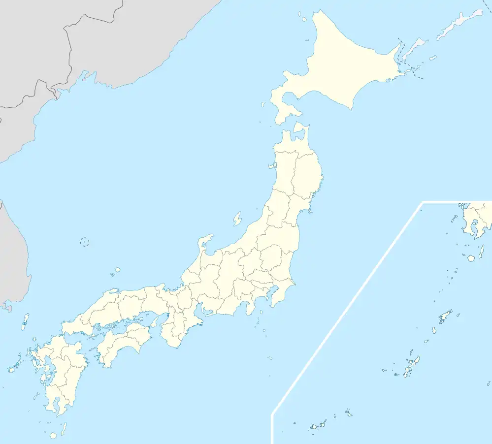 Ōge-jima Ōge-jima (Japan) | |
| Geography | |
| Location | Seto Inland Sea |
| Coordinates | 34°13′0″N 134°37′30″E / 34.21667°N 134.62500°E |
| Archipelago | no |
| Area | 7.31 km2 (2.82 sq mi) |
| Length | 6 km (3.7 mi) |
| Width | 2 km (1.2 mi) |
| Highest elevation | 198.5 m (651.2 ft) |
| Administration | |
Japan | |
| Prefecture | Tokushima Prefecture |
| City | Naruto |
| Demographics | |
| Population | 2686 (2015)[1] |
| Ethnic groups | Japanese |
Ōge-jima (大毛島) is an island in the Seto Inland Sea administered under Naruto in Tokushima Prefecture.
Geography
Ōge-jima, also called Ōge Island, is located in the northeast of Tokushima Prefecture, on the island of Shikoku, Japan . Together with Taka-shima and Shimada-jima, the island to which it is connected by the Horikoshi Bridge,[2] it forms the northeast part of Naruto. It is connected to the island of Shikoku by the Konaruto Bridge,[2] and, by the Ōnaruto Bridge spanning the Naruto Strait, to Awaji Island, an island in the Seto Inland Sea.[2]
References
- ↑ "17 小字別世帯数と人口(その1" (PDF) (in Japanese). Naruto. 2015-03-31. Archived from the original (PDF) on 2016-08-02. Retrieved 2016-08-02.
- 1 2 3 "Ōge-jima". Kotobank (in Japanese). The Asahi Shimbun. 2019. Retrieved 18 December 2019..
This article is issued from Wikipedia. The text is licensed under Creative Commons - Attribution - Sharealike. Additional terms may apply for the media files.