123 km
123 км | |
|---|---|
Passing loop | |
 123 km 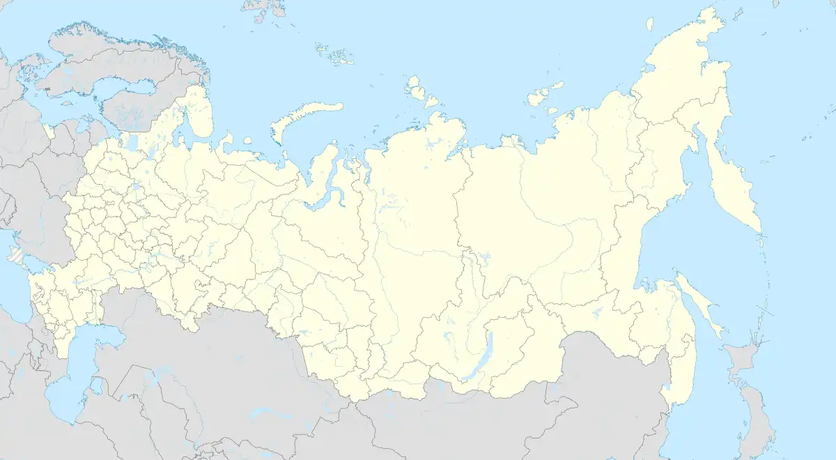 123 km | |
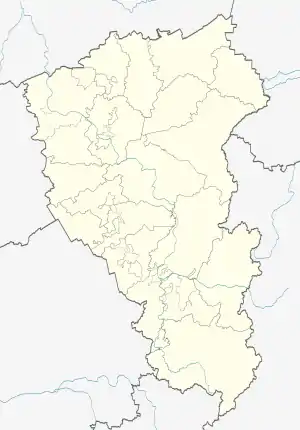
| Coordinates: 55°10′55″N 85°44′31″E / 55.181944°N 85.741944°E | |
| Country | Russia |
| Region | Kemerovo Oblast |
| District | Topkinsky District |
| Time zone | UTC+7:00 |
123 km (Russian: 123 км) is a rural locality (a passing loop) in Osinogrivskoye Rural Settlement of Topkinsky District, Russia. The population was 29 as of 2010.[1]
Geography
The passing loop is located on the Yurga-Tashtagol line, 30 km south of Topki (the district's administrative centre) by road. Znamensky is the nearest rural locality.[2]
Streets
- Zheleznodorozhnaya[3]
References
- ↑ "Численность населения городских округов, муниципальных районов, городских и сельских поселений, городских населенных пунктов, сельских населенных пунктов" (PDF). Archived from the original (PDF) on 2013-11-11. Retrieved 2018-08-09.
- ↑ Расстояние от 123 км до Топков
- ↑ Центр Регистрации и Сопровождения Бизнеса - www.regfile.ru. "123 км рзд - Топкинский р-н, состав: улицы, почтовые индексы, ОКТМО, ОКАТО | ФИАС". ifias.ru. Retrieved 2018-08-09.
This article is issued from Wikipedia. The text is licensed under Creative Commons - Attribution - Sharealike. Additional terms may apply for the media files.