 | |
| UTC time | 1920-02-20 11:45 |
|---|---|
| ISC event | 912437 |
| USGS-ANSS | ComCat |
| Local date | February 20, 1920 |
| Local time | 15:45 [1] |
| Magnitude | 6.2 Ms [2] |
| Depth | 11 km (6.8 mi) [1] |
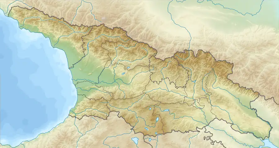
| Epicenter | 42°00′N 44°06′E / 42.0°N 44.1°E [1] |
| Areas affected | Georgia |
| Max. intensity | IX (Violent) [1] |
| Casualties | 114–130 [1][2] |
The 1920 Gori earthquake hit the Democratic Republic of Georgia on 20 February at 15:45 local time. The shock had a surface wave magnitude of 6.2 and a maximum Mercalli Intensity of IX (Violent). Heavy damage (and between 114 and 130 deaths) affected the town of Gori and its medieval fortress.
See also
References
- 1 2 3 4 5 USGS (September 4, 2009), PAGER-CAT Earthquake Catalog, Version 2008_06.1, United States Geological Survey
- 1 2 Ion Apostol, ed. (2008). Risk Assessment as a Basis for the Forecast and Prevention of Catastrophies. IOS Press. p. 26. ISBN 978-1-58603-844-1.
This article is issued from Wikipedia. The text is licensed under Creative Commons - Attribution - Sharealike. Additional terms may apply for the media files.