| Açuã River | |
|---|---|
 | |
| Native name | Rio Açuã (Portuguese) |
| Location | |
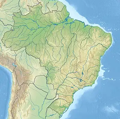
| Country | Brazil |
| Physical characteristics | |
| Mouth | |
• coordinates | 7°11′55″S 64°11′31″W / 7.198679°S 64.191998°W |
| Basin features | |
| River system | Mucuim River |
The Açuã River (Portuguese: Rio Açuã) is a river of Amazonas state in north-western Brazil, a tributary of the Mucuim River.
The river flows through the Mapinguari National Park, a 1,776,914 hectares (4,390,850 acres) conservation unit created in 2008.[1] To the north of the national park it is crossed by the Trans-Amazonian Highway (BR-230), then runs through the Balata-Tufari National Forest, where it joins the Mucuim.[2]
See also
References
- ↑ Unidade de Conservação: Parque Nacional Mapinguari (in Portuguese), MMA: Ministério do Meio Ambiente, retrieved 2016-06-02
- ↑ Flona de Balata-Tufari Mapa Interativo (in Portuguese), ICMBio, archived from the original on 2016-08-17, retrieved 2016-06-03
This article is issued from Wikipedia. The text is licensed under Creative Commons - Attribution - Sharealike. Additional terms may apply for the media files.