A Ma Wat
| |
|---|---|
Village | |
 Sign in Wu Kau Tang showing the way to A Ma Wat | |
 A Ma Wat | |
| Coordinates: 22°31′06″N 114°14′39″E / 22.518321°N 114.244096°E | |
| Country | People's Republic of China |
| Special administrative region | Hong Kong |
| District | North District |
| Time zone | UTC+8:00 (HKT) |
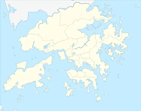
A Ma Wat (Chinese: 亞媽笏) is a village in North District, Hong Kong,[1][2] near Wu Kau Tang and Bride's Pool.
Statutory status
A Ma Wat is a recognised village under the New Territories Small House Policy.[3]
References
- ↑ GeoInfo Map (Map). Cartography by HKSARG Geospatial Information Hub. Hong Kong Lands Department. Retrieved 12 May 2015.
- ↑ "Appendix B: A List of Existing Village, Indigenous Village and Composite Indigenous Village" (PDF). Guidelines on Election-related Activities in respect of the Rural Representative Election. Hong Kong Electoral Affairs Commission. Retrieved 12 May 2015.
- ↑ "List of Recognized Villages under the New Territories Small House Policy" (PDF). Lands Department. September 2009.
External links
Wikimedia Commons has media related to A Ma Wat.
This article is issued from Wikipedia. The text is licensed under Creative Commons - Attribution - Sharealike. Additional terms may apply for the media files.