Aba Airport | |||||||||||
|---|---|---|---|---|---|---|---|---|---|---|---|
| Summary | |||||||||||
| Serves | Aba, Democratic Republic of the Congo | ||||||||||
| Elevation AMSL | 3,051 ft / 930 m | ||||||||||
| Coordinates | 03°51′35″N 30°15′15″E / 3.85972°N 30.25417°E | ||||||||||
| Map | |||||||||||
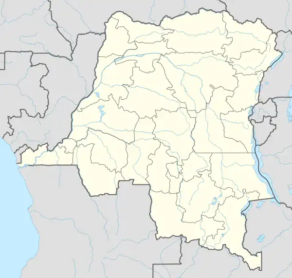 FZJF Location of airport in the DRC | |||||||||||
| Runways | |||||||||||
| |||||||||||
Aba Airport (ICAO: FZJF) is an airport serving Aba, a city in the Haut-Uélé province of the Democratic Republic of the Congo. The runway is 2 kilometres (1.2 mi) east of the city.
References
- ↑ Airport information for Aba Airport at Great Circle Mapper.
- ↑ Google Maps - Aba Airport
External links
- OpenStreetMap - Aba Airport
- OurAirports - Aba Airport
- FallingRain - Aba Airport
- Accident history for Aba Airport at Aviation Safety Network
This article is issued from Wikipedia. The text is licensed under Creative Commons - Attribution - Sharealike. Additional terms may apply for the media files.