Addagadde | |
|---|---|
village | |
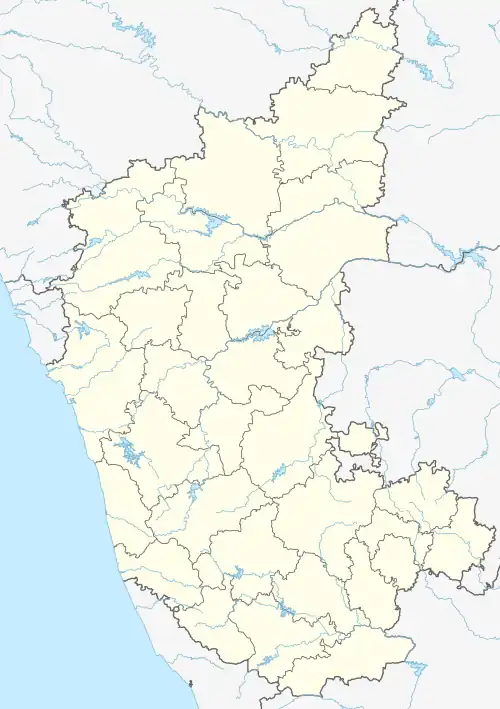 Addagadde Location in Karnataka, India  Addagadde Addagadde (India) | |
| Coordinates: 13°27′45″N 75°17′12″E / 13.4624171°N 75.286773°E | |
| Country | |
| State | Karnataka |
| District | Chikkamagaluru |
| Talukas | Sringeri |
| Government | |
| • Body | Village Panchayat |
| Population (2001) | |
| • Total | 800 |
| Languages | |
| • Official | Kannada |
| Time zone | UTC+5:30 (IST) |
| PIN | 577126 |
| Telephone code | 08265 |
| Nearest city | Chikmagalur |
| Civic agency | Village Panchayat |
Addagadde is a village on the banks of river Tunga in the southern state of Karnataka, India.[1][2] It is located in Sringeri taluk of Chikkamagaluru district at a distance of 8 km away from Sringeri, on Sringeri to Shivamogga highway. It is a panchayat village, filled with plenty of greenery and a classic example of a Malnad village set up. The village has a population of around 1500, where majority depends on arecanut cultivation. Addagadde has a historical Veerabhadreshwara temple.[3]
See also
References
- ↑ "Census of India : List of Villages Alphabetical Order > Karnataka". Registrar General & Census Commissioner, India. Retrieved 18 December 2008. , Census Village code= 1319200
- ↑ "Yahoo! maps India :". Archived from the original on 18 December 2008. Retrieved 17 April 2009. Addagadde, Chikmagalur, Karnataka
- ↑ Google Maps
External links
District HQ: Chikkamagaluru | |
| Villages and Towns |
|
This article is issued from Wikipedia. The text is licensed under Creative Commons - Attribution - Sharealike. Additional terms may apply for the media files.