Akmarijp
Eagmaryp | |
|---|---|
Village | |
 The cemetery bell of Eagmaryp | |
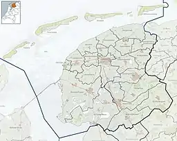
 Location in the former Skarsterlân municipality | |
 Akmarijp Location in the Netherlands 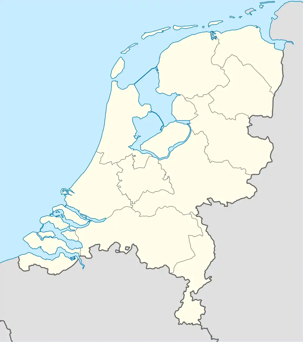 Akmarijp Akmarijp (Netherlands) | |
| Coordinates: 53°0′21″N 5°47′15″E / 53.00583°N 5.78750°E | |
| Country | |
| Province | |
| Municipality | |
| Area | |
| • Total | 3.65 km2 (1.41 sq mi) |
| Elevation | −0.1 m (−0.3 ft) |
| Population (2021)[1] | |
| • Total | 110 |
| • Density | 30/km2 (78/sq mi) |
| Postal code | 8541[1] |
| Dialing code | 0566 |
Akmarijp (West Frisian: Eagmaryp) is a village in the Dutch province of Friesland. It is in the municipality De Fryske Marren, about 5 km north of the town of Joure.
Akmarijp has about 110 inhabitants (2017).[3]
History
The village was first mentioned in 1315 as Ackrommariip, and means "on the edge of Akkrum.[4] Akmarijp is a canal village which developed during the 11th century. The belfry dates from 1844 and is a replacement for a demolished church tower.[5] The church was demolished in 1722. In 1840, Akmarijp was home to 99 people.[6]
Before 2014, Akmarijp was part of the Skarsterlân municipality and before 1984 it was part of Utingeradeel.[6]
References
- 1 2 3 "Kerncijfers wijken en buurten 2021". Central Bureau of Statistics. Retrieved 29 March 2022.
- ↑ "Postcodetool for 8541AA". Actueel Hoogtebestand Nederland (in Dutch). Het Waterschapshuis. Retrieved 29 March 2022.
- ↑ Kerncijfers wijken en buurten 2017 - CBS
- ↑ "Akmarijp - (geografische naam)". Etymologiebank (in Dutch). Retrieved 29 March 2022.
- ↑ Ronald Stenvert & Sabine Broekhoven (2000). "Akmarijp" (in Dutch). Zwolle: Waanders. ISBN 90 400 9476 4. Retrieved 29 March 2022.
- 1 2 "Akmarijp". Plaatsengids (in Dutch). Retrieved 29 March 2022.
External links
![]() Media related to Akmarijp at Wikimedia Commons
Media related to Akmarijp at Wikimedia Commons
This article is issued from Wikipedia. The text is licensed under Creative Commons - Attribution - Sharealike. Additional terms may apply for the media files.