Alcanadre | |
|---|---|
 A park beside a church, Alcanadre | |
 Seal | |
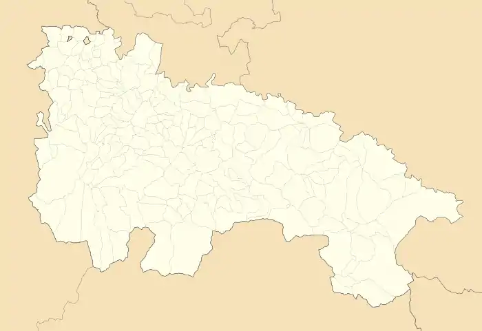 Alcanadre Location in La Rioja 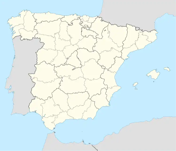 Alcanadre Location in Spain | |
| Coordinates: 42°24′18″N 2°7′10″W / 42.40500°N 2.11944°W | |
| Country | |
| Autonomous community | |
| Comarca | Logroño |
| Area | |
| • Total | 31 km2 (12 sq mi) |
| Elevation | 346 m (1,135 ft) |
| Population (2018)[1] | |
| • Total | 644 |
| • Density | 21/km2 (54/sq mi) |
| Time zone | UTC+1 (CET) |
| • Summer (DST) | UTC+2 (CET) |
| Postal code | 26509 |
| Website | Official website |

Templar detail (virgen de aradon) at church.
Alcanadre is a town and municipality in La Rioja province in northern Spain. The town is located along the Ebro River, between Logroño and Calahorra. Alcanadre has a temperate, Mediterranean climate. Its major agricultural products are wine, olive oil, almonds, and grain. The town is home to the shrine of Saint Aradón, ruins of a Roman aqueduct from the 1st century and the church of Santa María de la Asunción.
References
- ↑ Municipal Register of Spain 2018. National Statistics Institute.
This article is issued from Wikipedia. The text is licensed under Creative Commons - Attribution - Sharealike. Additional terms may apply for the media files.