Algapur | |
|---|---|
Town | |
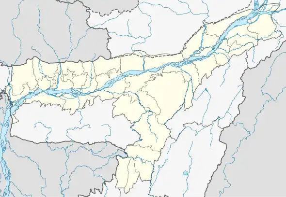
 Algapur Location in Assam, India  Algapur Algapur (India) | |
| Coordinates: 24°52′01″N 92°41′13″E / 24.867°N 92.687°E | |
| Country | |
| State | Assam |
| District | Hailakandi |
| Elevation | 25 m (82 ft) |
| Population (2011) | |
| • Total | 2,732 |
| Languages | |
| • Official | Bengali, Sylheti |
| Time zone | UTC+5:30 (IST) |
| Vehicle registration | AS |
Algapur (Pron:/ˈalɡəˈpʊə/) is a town and Tehsil or Block in Hailakandi district in the state of Assam, India. It is located 32 km from District headquarters Hailakandi.
Geography
Algapur is located at 24°52′N 92°41′E / 24.87°N 92.69°E.[1] It has an average elevation of 25 metres (82 feet).
Politics
Algapur is part of Karimganj (Lok Sabha constituency).[2]
References
- ↑ - Algapur
- ↑ "List of Parliamentary & Assembly Constituencies" (PDF). Assam. Election Commission of India. Archived from the original (PDF) on 4 May 2006.
This article is issued from Wikipedia. The text is licensed under Creative Commons - Attribution - Sharealike. Additional terms may apply for the media files.