Alur, Hassan
Aaluru | |
|---|---|
Town | |
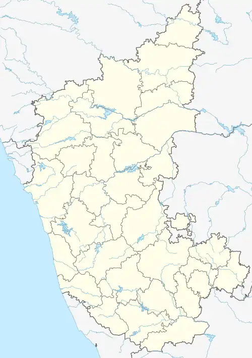 Alur, Hassan Location in Karnataka, India | |
| Coordinates: 12°58′41″N 75°58′59″E / 12.9780456°N 75.9830654°E | |
| Country | |
| State | Karnataka |
| District | Hassan |
| Government | |
| • Body | Town Panchayath |
| Area | |
| • Town | 2 km2 (0.8 sq mi) |
| • Rural | 420.92 km2 (162.52 sq mi) |
| Elevation | 974 m (3,196 ft) |
| Population (2011) | |
| • Town | 6,541 [1] |
| • Rural | 78,714 |
| Languages | |
| • Official | Kannada |
| Time zone | UTC+5:30 (IST) |
| PIN | 573 213 |
| Telephone code | 08170 |
| ISO 3166 code | IN-KA |
| Vehicle registration | KA-46 |
| Website | www |
Alur also spelled as Alooru is a town and the taluk headquarters of Alur Taluk in Hassan district in the state of Karnataka, India. It is 14 km from Hassan City. Alur town is offset by 2 km from NH-75. Alur has a railway station, named "Alur Halt", located on Mangalore-Hassan line. But no train stops at this station.[2]
Demography
As per 2001 census, Alur has a population of 4961.
Gallery
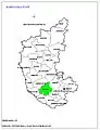 Positioning of Hassan district in Karnataka
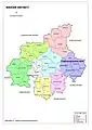 Hobli Map of Hassan district
 Map of Alur Taluk as per 2001 Census
 Map of Alur Taluk as per 2011 Census
 Alur Taluk - Hobli and Village Map
 Alur Taluk - Grama Panchayat and Village Map
 Alur Taluk Map about Fluoride content in DWS
See also
References
- ↑ "Census Data Handbook Hassan 2011" (PDF). Retrieved 28 July 2023.
- ↑ "Hassan people want train services to Mangaluru increased". The Hindu. 30 January 2015. Retrieved 11 September 2017.
This article is issued from Wikipedia. The text is licensed under Creative Commons - Attribution - Sharealike. Additional terms may apply for the media files.