Amraha | |
|---|---|
Village | |
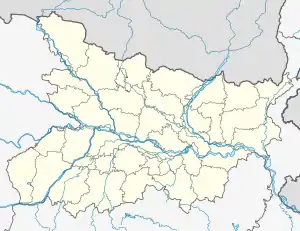 Amraha Location in Bihar, India  Amraha Amraha (India) | |
| Coordinates: 24°52′44″N 84°58′09″E / 24.878852°N 84.969131°E[1] | |
| Country | |
| State | Bihar |
| District | Gaya |
| Elevation | 74 m (243 ft) |
| Languages | |
| • Official | Bhojpuri, Hindi |
| Time zone | UTC+5:30 (IST) |
| PIN | 824209 |
| Telephone code | 91-631 |
| Vehicle registration | BR-02 |
Amraha is a village located in the Gaya town C.D. block of Gaya district of the Indian state of Bihar.
Demographics
This village hosts a population of 513 families, and an overall population of 3,303 according to government records.
Administration
Amraha village is administrated by Mukhiya through its Gram Panchayat.[2]
References
- ↑ "Amraha map". google.co.in. Retrieved 24 July 2017.
- ↑ "Population of Amraha". census2011.co.in. Retrieved 24 July 2017.
This article is issued from Wikipedia. The text is licensed under Creative Commons - Attribution - Sharealike. Additional terms may apply for the media files.