Anta District | |
|---|---|
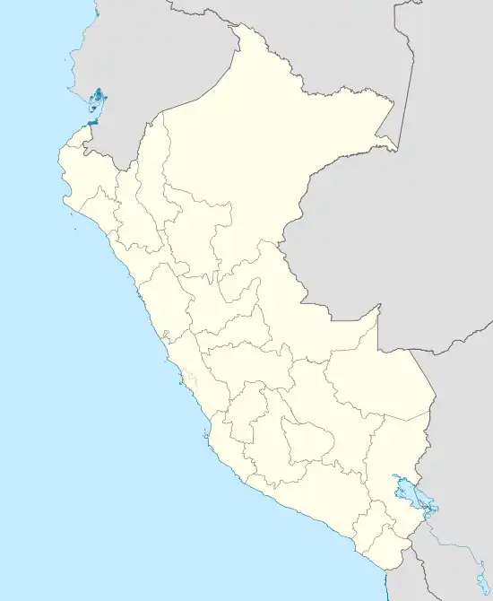 Anta District Location of Anta in the Carhuaz Province | |
| Coordinates: 9°15′S 78°03′W / 9.250°S 78.050°W | |
| Country | |
| Region | Ancash |
| Province | Carhuaz |
| Founded | November 28, 1910 |
| Capital | Anta |
| Government | |
| • Mayor | Miguel Oswaldo Antunez Castillo |
| Area | |
| • Total | 40.77 km2 (15.74 sq mi) |
| Elevation | 2,791 m (9,157 ft) |
| Population | |
| • Total | 2,424 |
| • Density | 59/km2 (150/sq mi) |
| Time zone | UTC-5 (PET) |
| UBIGEO | 020604 |
Anta (Quechua for "copper") is one of eleven districts of Carhuaz Province in Peru.[1]
Ethnic groups
The people in the district are mainly indigenous citizens of Quechua descent. Quechua is the language which the majority of the population (67.24%) learnt to speak in childhood, 32.53% of the residents started speaking using the Spanish language (2007 Peru Census).[2]
See also
References
- ↑ (in Spanish) Instituto Nacional de Estadística e Informática. Banco de Información Distrital Archived April 23, 2008, at the Wayback Machine. Retrieved April 11, 2008.
- ↑ inei.gob.pe Archived January 27, 2013, at the Wayback Machine INEI, Peru, Censos Nacionales 2007, Frequencias: Preguntas de Población: Idioma o lengua con el que apredió hablar (in Spanish)
| Aija | |
|---|---|
| Antonio Raymondi | |
| Asunción | |
| Bolognesi | |
| Carhuaz | |
| Carlos Fermín Fitzcarrald | |
| Casma | |
| Corongo | |
| Huaraz | |
| Huari | |
| Huarmey | |
| Huaylas | |
| Mariscal Luzuriaga | |
| Ocros | |
| Pallasca | |
| Pomabamba | |
| Recuay | |
| Santa | |
| Sihuas | |
| Yungay | |
This article is issued from Wikipedia. The text is licensed under Creative Commons - Attribution - Sharealike. Additional terms may apply for the media files.