Arcadia, Mississippi | |
|---|---|
 Arcadia  Arcadia | |
| Coordinates: 32°38′55″N 91°07′32″W / 32.64861°N 91.12556°W | |
| Country | United States |
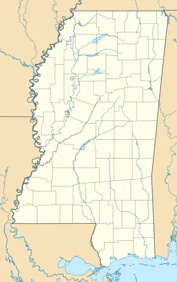
| State | Mississippi |
| County | Issaquena |
| Elevation | 82 ft (25 m) |
| Time zone | UTC-6 (Central (CST)) |
| • Summer (DST) | UTC-5 (CDT) |
| GNIS feature ID | 687578[1] |
Arcadia is a ghost town in Issaquena County, Mississippi, United States.[1]
Arcadia was a postal town located on the Mississippi River. It had a population of 45 in 1900.[2]
A post office operated under the name Arcadia from 1882 to 1919.[3]
The former community is today called "Arcadia Point", and is located on the east side of an uninhabited island within the Mississippi River.[4]
References
- 1 2 "Arcadia, Mississippi". Geographic Names Information System. United States Geological Survey, United States Department of the Interior.
- ↑ Rowland, Dunbar (1907). Mississippi: Comprising Sketches of Counties, Towns, Events, Institutions, and Persons, Arranged in Cyclopedic Form. Vol. 1. Southern Historical Publishing Association. p. 118.
- ↑ "Issaquena County". Jim Forte Postal History. Retrieved 16 July 2021.
- ↑ "Arcadia Point". Geographic Names Information System. United States Geological Survey, United States Department of the Interior.
Municipalities and communities of Issaquena County, Mississippi, United States | ||
|---|---|---|
| Town | 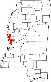 Map of Mississippi highlighting Issaquena County | |
| CDPs | ||
| Other communities | ||
| Ghost towns | ||
This article is issued from Wikipedia. The text is licensed under Creative Commons - Attribution - Sharealike. Additional terms may apply for the media files.