Arnoldsweiler | |
|---|---|
 Church of Saint Arnold | |
 Coat of arms | |
Location of Arnoldsweiler | |
 Arnoldsweiler 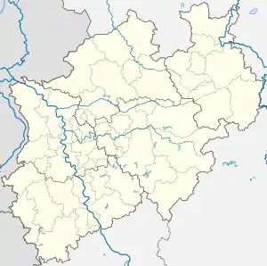 Arnoldsweiler | |
| Coordinates: 50°50′17″N 6°29′27″E / 50.83806°N 6.49083°E | |
| Country | Germany |
| State | North Rhine-Westphalia |
| District | Düren |
| Town | Düren |
| Area | |
| • Total | 9.51 km2 (3.67 sq mi) |
| Elevation | 118 m (387 ft) |
| Population (2017-12-31) | |
| • Total | 3,185 |
| • Density | 330/km2 (870/sq mi) |
| Time zone | UTC+01:00 (CET) |
| • Summer (DST) | UTC+02:00 (CEST) |
| Postal codes | 52353 |
| Dialling codes | 02421 |
Arnoldsweiler is a village in Nordrhein-Westfalen, Germany. It is part of the town Düren, situated between Cologne and Aachen. Its population was 3,185 in 2017.[1]
History
The village is named after the late 8th century AD Saint Arnold of Arnoldsweiler, a charitable Greek musician at the court of Charlemagne.
References
- ↑ "Stadt Düren, Bevölkerung". Archived from the original on 2018-03-16. Retrieved 2018-05-07.
This article is issued from Wikipedia. The text is licensed under Creative Commons - Attribution - Sharealike. Additional terms may apply for the media files.