| Arrowhead Mountain | |
|---|---|
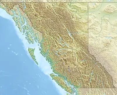 Arrowhead Mountain Location in southern British Columbia | |
| Highest point | |
| Elevation | 2,185 m (7,169 ft)[1] |
| Prominence | 126 m (413 ft)[1] |
| Parent peak | Long Peak (2301 m)[1] |
| Listing | Mountains of British Columbia |
| Coordinates | 50°07′50″N 122°20′07″W / 50.13056°N 122.33528°W[2] |
| Geography | |
| Country | Canada |
| Province | British Columbia |
| District | Lillooet Land District[2] |
| Parent range | Lillooet Ranges |
| Topo map | NTS 92J1 Stein Lake[3] |
Arrowhead Mountain is a 2,185-metre (7,169 ft) mountain located east of Lizzie Lake in the Lillooet Ranges of British Columbia, Canada.[2]
References
- 1 2 3 "Arrowhead Mountain". Bivouac.com. Retrieved 2023-11-03.
- 1 2 3 "Arrowhead Mountain". BC Geographical Names. Retrieved 2023-11-03.
- ↑ "Arrowhead Mountain". Geographical Names Data Base. Natural Resources Canada. Retrieved 2023-11-03.
This article is issued from Wikipedia. The text is licensed under Creative Commons - Attribution - Sharealike. Additional terms may apply for the media files.