Askio
Άσκιο | |
|---|---|
 Askio Location within the regional unit 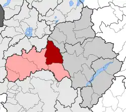 | |
| Coordinates: 40°18′N 21°30′E / 40.300°N 21.500°E | |
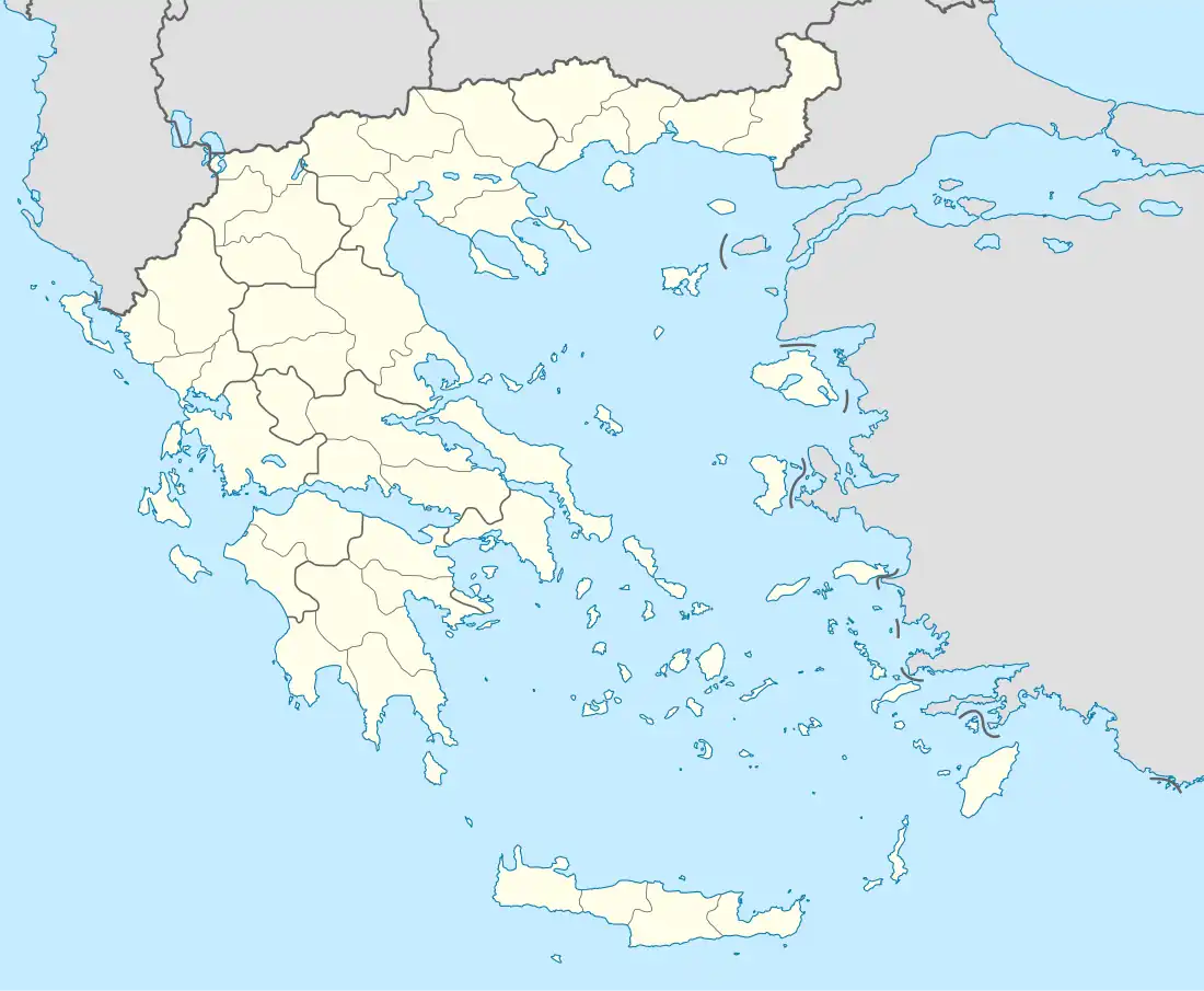
| Country | Greece |
| Administrative region | West Macedonia |
| Regional unit | Kozani |
| Municipality | Voio |
| • Municipal unit | 196.636 km2 (75.922 sq mi) |
| Elevation | 878 m (2,881 ft) |
| Population (2011)[1] | |
| • Municipal unit | 4,002 |
| • Municipal unit density | 20/km2 (53/sq mi) |
| Time zone | UTC+2 (EET) |
| • Summer (DST) | UTC+3 (EEST) |
| Postal code | 503 00 |
| Area code(s) | +30-2465-xxx-xxx |
| Vehicle registration | KZ |
Askio (Greek: Άσκιο) is a former municipality in Kozani regional unit, West Macedonia, Greece. Since the 2011 local government reform it is part of the municipality Voio, of which it is a municipal unit.[2] The municipal unit has an area of 196.636 km2.[3] The 2011 census recorde 4,002 residents in Askio.[1] The seat of the municipality was in Kaloneri. It was named after the Askio mountain range which covers most of the municipal unit.
References
- 1 2 "Απογραφή Πληθυσμού - Κατοικιών 2011. ΜΟΝΙΜΟΣ Πληθυσμός" (in Greek). Hellenic Statistical Authority.
- ↑ "ΦΕΚ B 1292/2010, Kallikratis reform municipalities" (in Greek). Government Gazette.
- ↑ "Population & housing census 2001 (incl. area and average elevation)" (PDF) (in Greek). National Statistical Service of Greece. Archived from the original (PDF) on 2015-09-21.
This article is issued from Wikipedia. The text is licensed under Creative Commons - Attribution - Sharealike. Additional terms may apply for the media files.