Ath/Isières Airfield | |||||||||||
|---|---|---|---|---|---|---|---|---|---|---|---|
| Summary | |||||||||||
| Airport type | Private | ||||||||||
| Operator | Ulmath ASBL | ||||||||||
| Serves | Ath | ||||||||||
| Location | Wallonia, Belgium | ||||||||||
| Elevation AMSL | 98 ft / 30 m | ||||||||||
| Coordinates | 50°39′51″N 003°48′16″E / 50.66417°N 3.80444°E | ||||||||||
| Map | |||||||||||
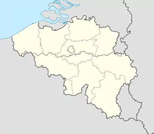 EBIS Location in Belgium | |||||||||||
| Runways | |||||||||||
| |||||||||||
Ath/Isières Airfield (ICAO: EBIS) is a private ultralight aviation field, located near the Walloon city of Ath, Hainaut, Belgium. Like most small aerodromes in Belgium it welcomes visitors, but prior permission is legally required.
See also
References
- ↑ EBIS – ATH / Isières (also PDF). Aeronautical Information Publication (AIP) from AIM Belgium via skeyes.
External links
- Airport record for Ath/Isieres Airport at Landings.com
This article is issued from Wikipedia. The text is licensed under Creative Commons - Attribution - Sharealike. Additional terms may apply for the media files.