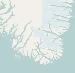
Map of Avallersuaq | |
 Avallersuaq Location of Avallersuaq in Greenland  Avallersuaq Avallersuaq (Greenland) | |
| Geography | |
|---|---|
| Location | Irminger Sea Southern Greenland |
| Coordinates | 59°49′N 43°35′W / 59.817°N 43.583°W |
| Archipelago | Nunap Isua Archipelago |
| Adjacent to | North Atlantic Ocean |
| Area | 4.30 km2 (1.66 sq mi) |
| Length | 5.2 km (3.23 mi) |
| Width | 2.0 km (1.24 mi) |
| Highest elevation | 491 m (1611 ft) |
| Highest point | Puto |
| Administration | |
| Municipality | Kujalleq |
| Demographics | |
| Population | 0 (2023) |
| Pop. density | 0/km2 (0/sq mi) |
| Ethnic groups | none |
Avallersuaq, old spelling Avatdlerssuaq, is an uninhabited island of the Cape Farewell Archipelago in Kujalleq municipality of southern Greenland.
It is a small and rocky island located east of Itilleq Island (Egger). It has an elevation of 491 metres (1,611 ft).[1] The small Saningassoq group of five islets lies to the north.[2]
See also
Bibliography
- Prostar (1 January 2005). Prostar Sailing Directions 2005 Greenland and Iceland Enroute. ProStar Publications. ISBN 978-1-57785-753-2.
References
- ↑ Prostar 2005, p. 6.
- ↑ Avallersuaq
This article is issued from Wikipedia. The text is licensed under Creative Commons - Attribution - Sharealike. Additional terms may apply for the media files.