40°05′55″N 44°28′05″E / 40.09861°N 44.46806°E
Ayntap
Այնթապ | |
|---|---|
 Ayntap 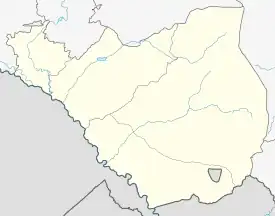 Ayntap | |
| Coordinates: 40°05′55″N 44°28′05″E / 40.09861°N 44.46806°E | |
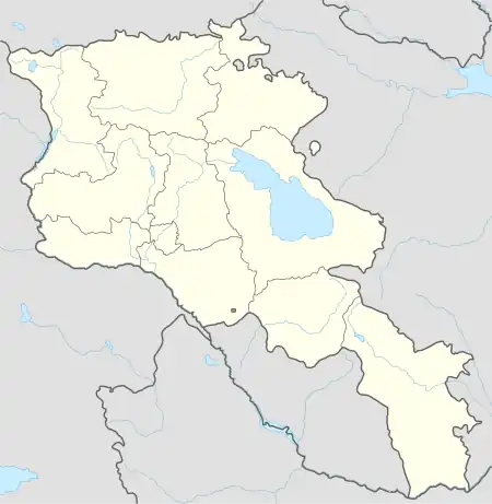
| Country | Armenia |
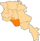
| Province | Ararat |
| Municipality | Masis |
| Population (2011) | |
| • Total | 8,376 |
| Time zone | UTC+4 |
Ayntap (Armenian: Այնթապ) is a village in the Masis Municipality of the Ararat Province of Armenia.
References
- Ayntap, Armenia at GEOnet Names Server
- World Gazeteer: Armenia – World-Gazetteer.com
- Report of the results of the 2001 Armenian Census
This article is issued from Wikipedia. The text is licensed under Creative Commons - Attribution - Sharealike. Additional terms may apply for the media files.