| Bacajá River | |
|---|---|
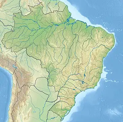 Mouth location in Brazil | |
| Native name | Rio Bacajá (Portuguese) |
| Location | |
| Country | Brazil |
| Physical characteristics | |
| Source | |
| • location | Pará state |
| Mouth | |
• coordinates | 3°30′24″S 51°42′47″W / 3.506702°S 51.713164°W |
| Length | 374 km (232 mi) |
| Basin size | 25,756.9 km2 (9,944.8 sq mi)[1] |
| Discharge | |
| • location | Confluence of Xingu (near mouth) |
| • average | 488.72 m3/s (17,259 cu ft/s)[2] |
| Basin features | |
| River system | Xingu River |
The Bacajá River is a river of Pará state in north-central Brazil. It is a tributary of the Xingu River.
The Bacajá River is a blackwater river. Its basin is in the Xingu–Tocantins–Araguaia moist forests ecoregion.[3]
See also
References
- ↑ "Rivers Network". 2020. Archived from the original on 2022-02-24. Retrieved 2022-02-24.
- ↑ "Rivers Network". 2020. Archived from the original on 2022-02-24. Retrieved 2022-02-24.
- ↑ Sears, Robin, Eastern Amazonian - Brazil (NT0180), WWF: World Wildlife Fund, retrieved 2017-03-22
This article is issued from Wikipedia. The text is licensed under Creative Commons - Attribution - Sharealike. Additional terms may apply for the media files.