Bachhaura | |
|---|---|
Village | |
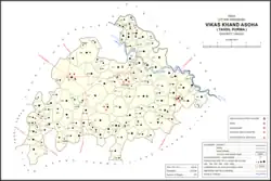 Map showing Bachhaura (#493) in Asoha CD block | |
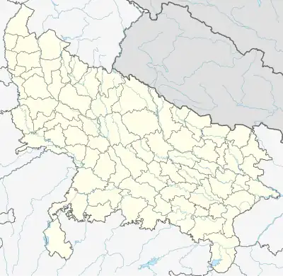 Bachhaura Location in Uttar Pradesh, India | |
| Coordinates: 26°32′51″N 80°45′02″E / 26.547496°N 80.750419°E[1] | |
| Country India | |
| State | Uttar Pradesh |
| District | Unnao |
| Area | |
| • Total | 312.2 km2 (120.5 sq mi) |
| Population (2011)[2] | |
| • Total | 1,802 |
| • Density | 5.8/km2 (15/sq mi) |
| Languages | |
| • Official | Hindi |
| Time zone | UTC+5:30 (IST) |
| Vehicle registration | UP-35 |
Bachhaura is a village in Asoha block of Unnao district, Uttar Pradesh, India.[2] It has one primary school and no healthcare facilities.[2] As of 2011, its population is 1,802, in 348 households.[2]
The 1961 census recorded Bachhaura (under the spelling "Bachoura") as comprising 2 hamlets, with a total population of 706 (372 male and 334 female), in 139 households and 101 physical houses.[3] The area of the village was given as 627 acres.[3]
References
- ↑ "Geographic Names Search WebApp". Search for "Bachhaura" here.
- 1 2 3 4 5 "Census of India 2011: Uttar Pradesh District Census Handbook - Unnao, Part A (Village and Town Directory)". Census 2011 India. pp. 323–47. Retrieved 9 July 2021.
- 1 2 Census 1961: District Census Handbook, Uttar Pradesh (37 - Unnao District) (PDF). Lucknow. 1965. pp. xcviii-xcviv of section "Purwa Tehsil". Retrieved 9 July 2021.
{{cite book}}: CS1 maint: location missing publisher (link)
This article is issued from Wikipedia. The text is licensed under Creative Commons - Attribution - Sharealike. Additional terms may apply for the media files.